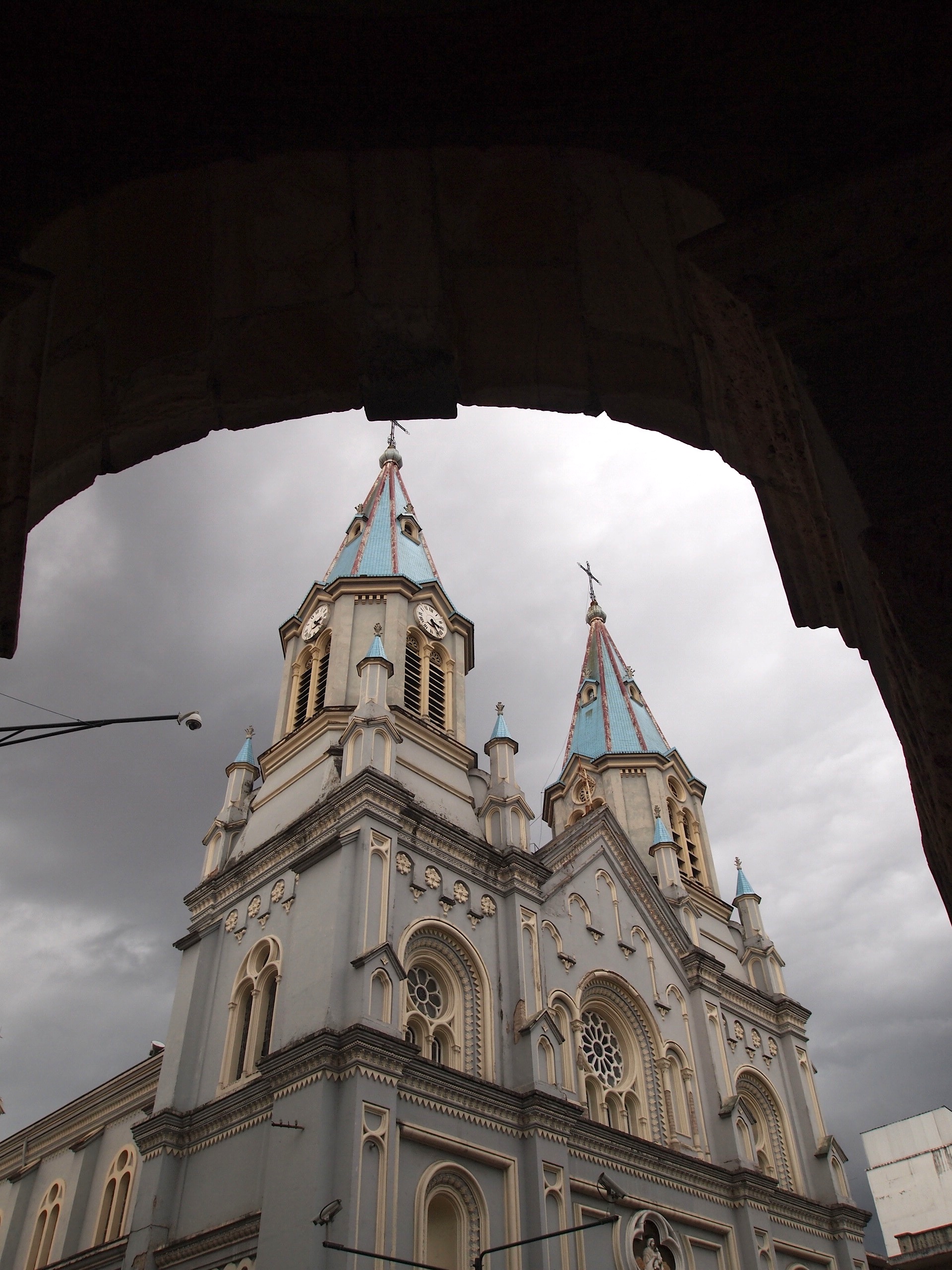
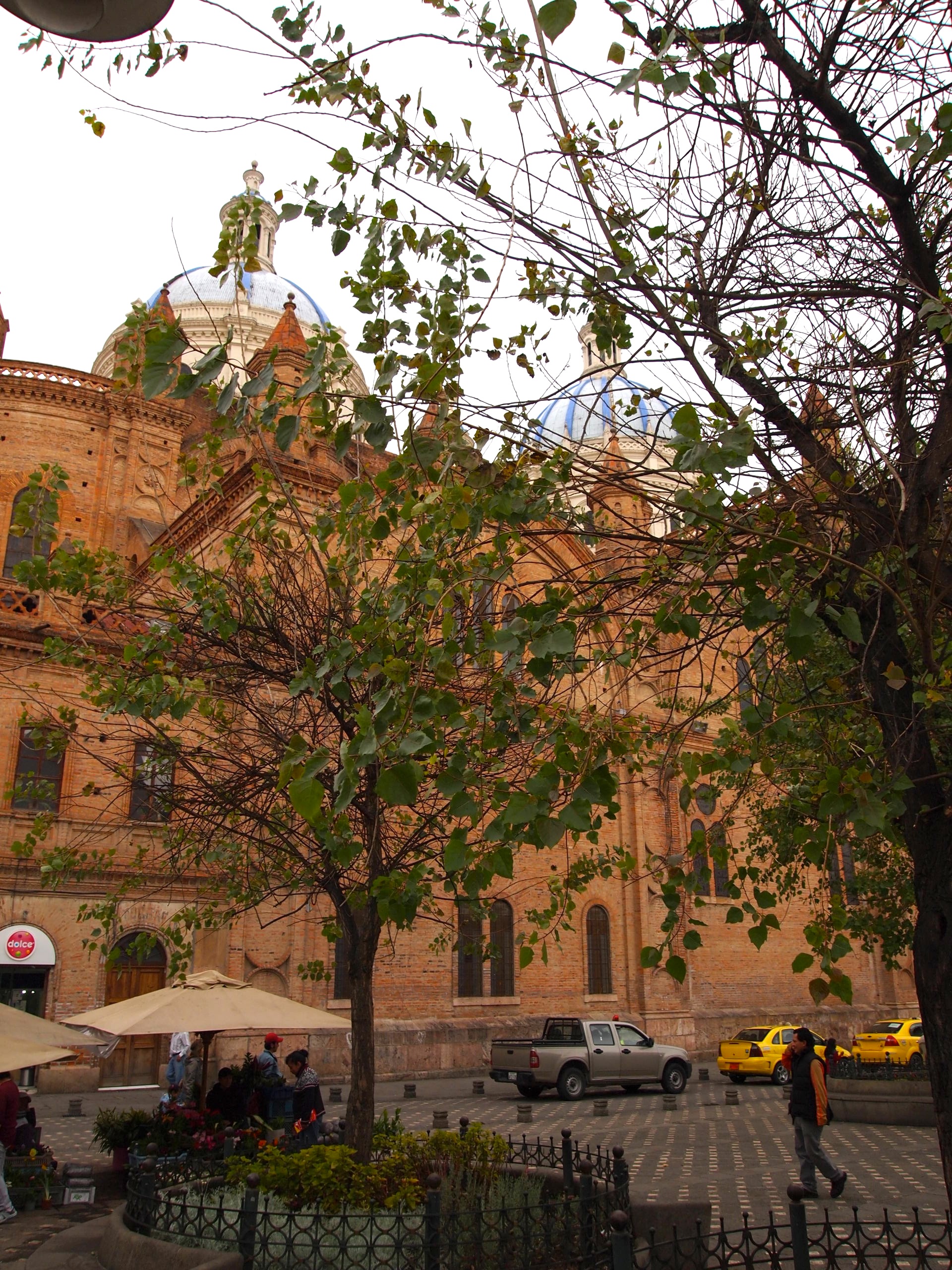
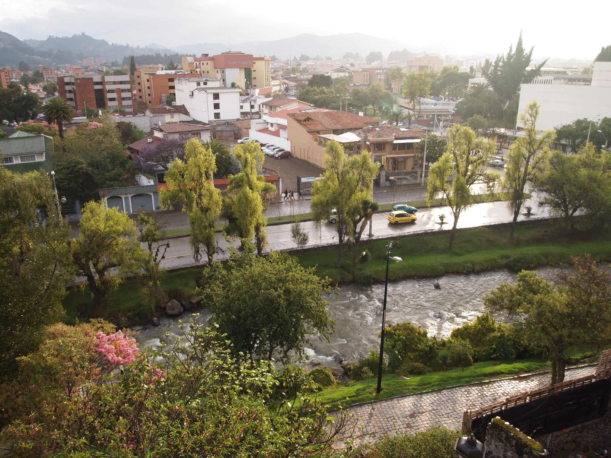
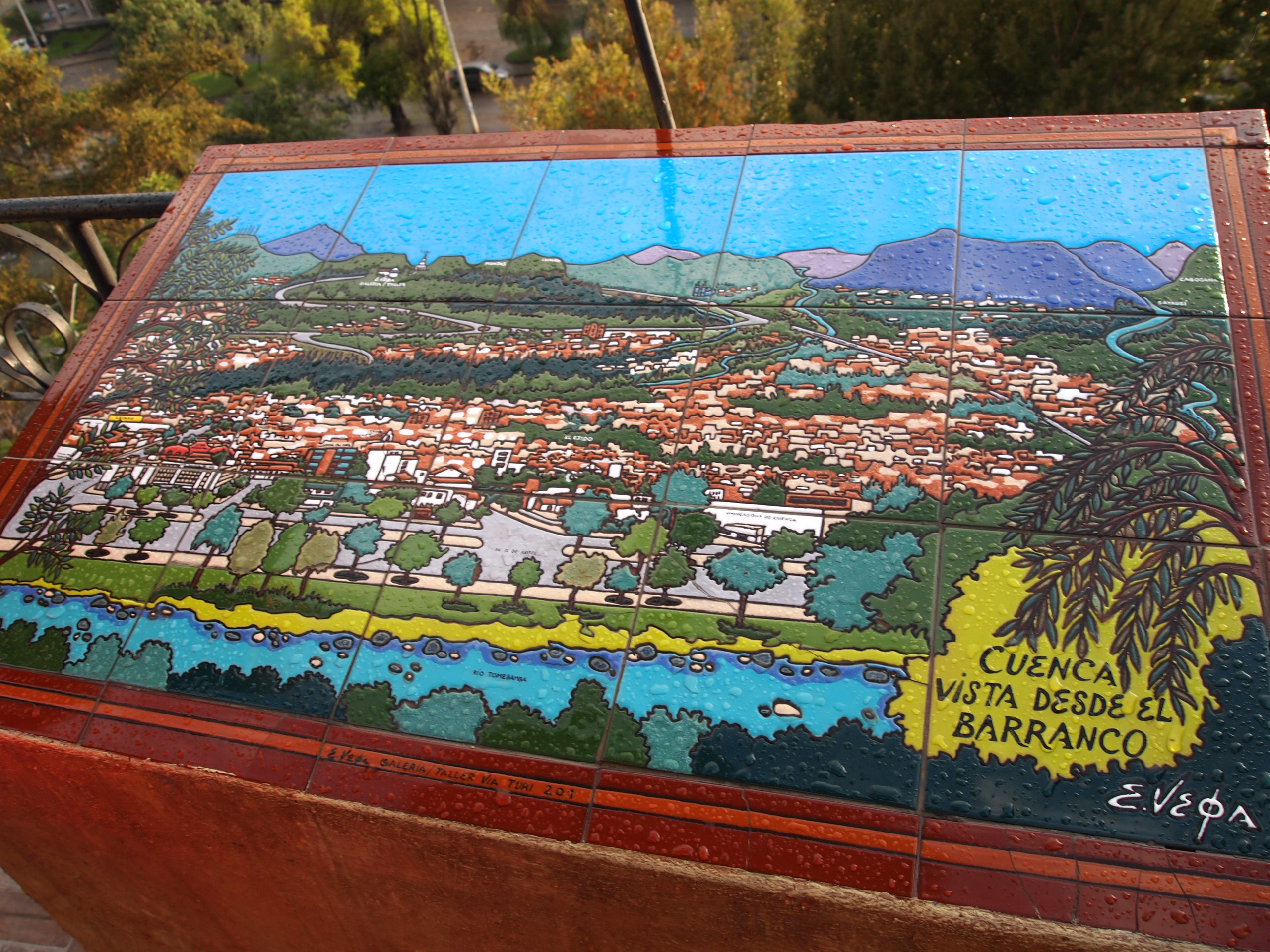
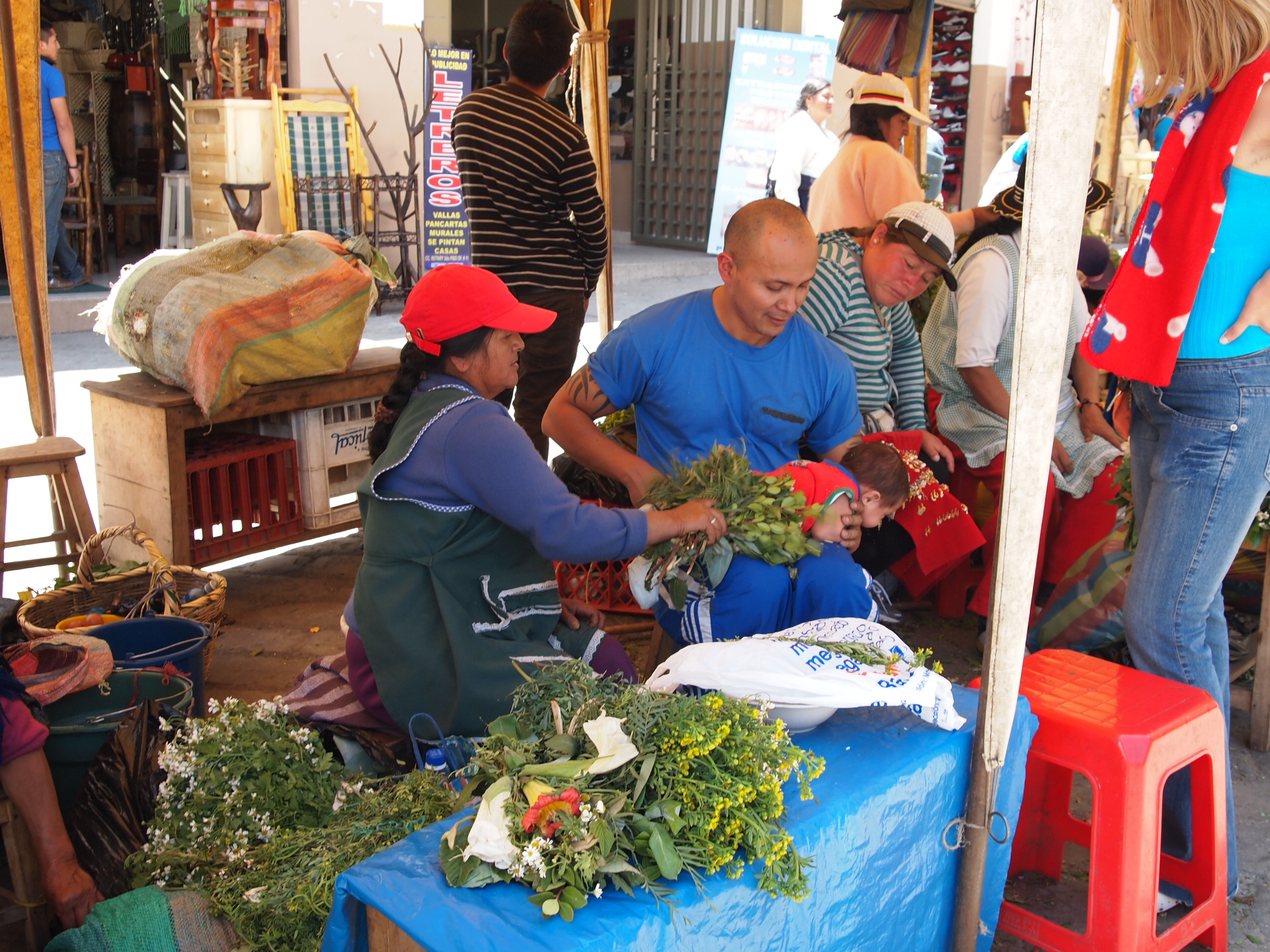
Before I write about our day in Mindo, a few quick updates.
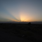
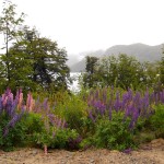
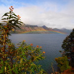
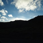
On Wednesday evening, we took a trip down to the Papallacta hot springs. I was hugely skeptical, considering we drove 2 hours on windy mountain roads, in the rain, to get there and I was being asked to put my bathing suit on when it was probably no more than 50 degrees outside, not to mention pitch black by the time we got there. But once I sunk into the amazing hot water, lay back and got to look at a sky full of stars, I knew immediately why the school prioritized this trip. My pictures are unimpressive because it was so dark and steamy, but believe me, it was amazing, and completely relaxing!
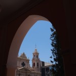
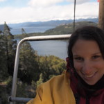
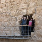
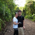
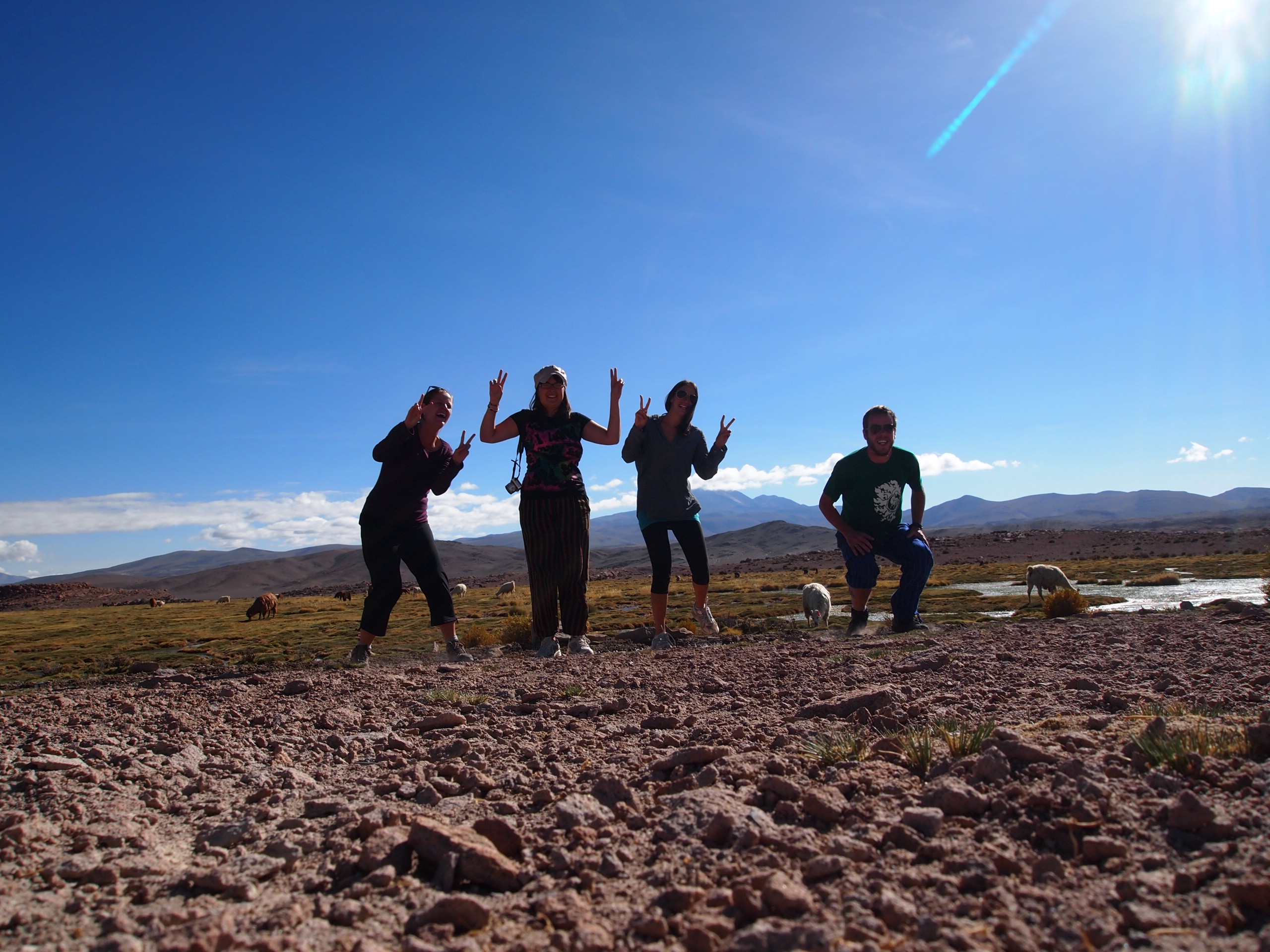
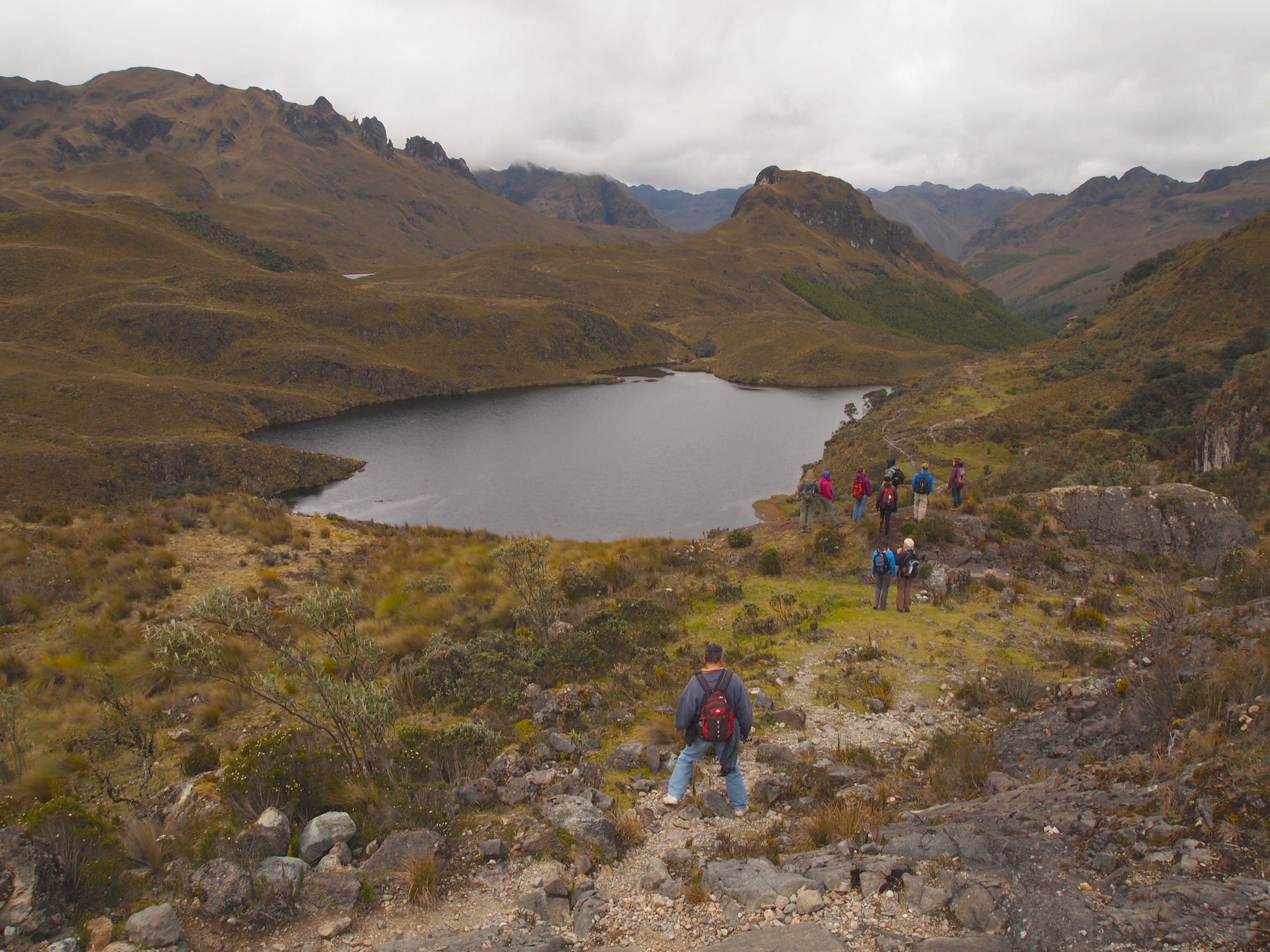
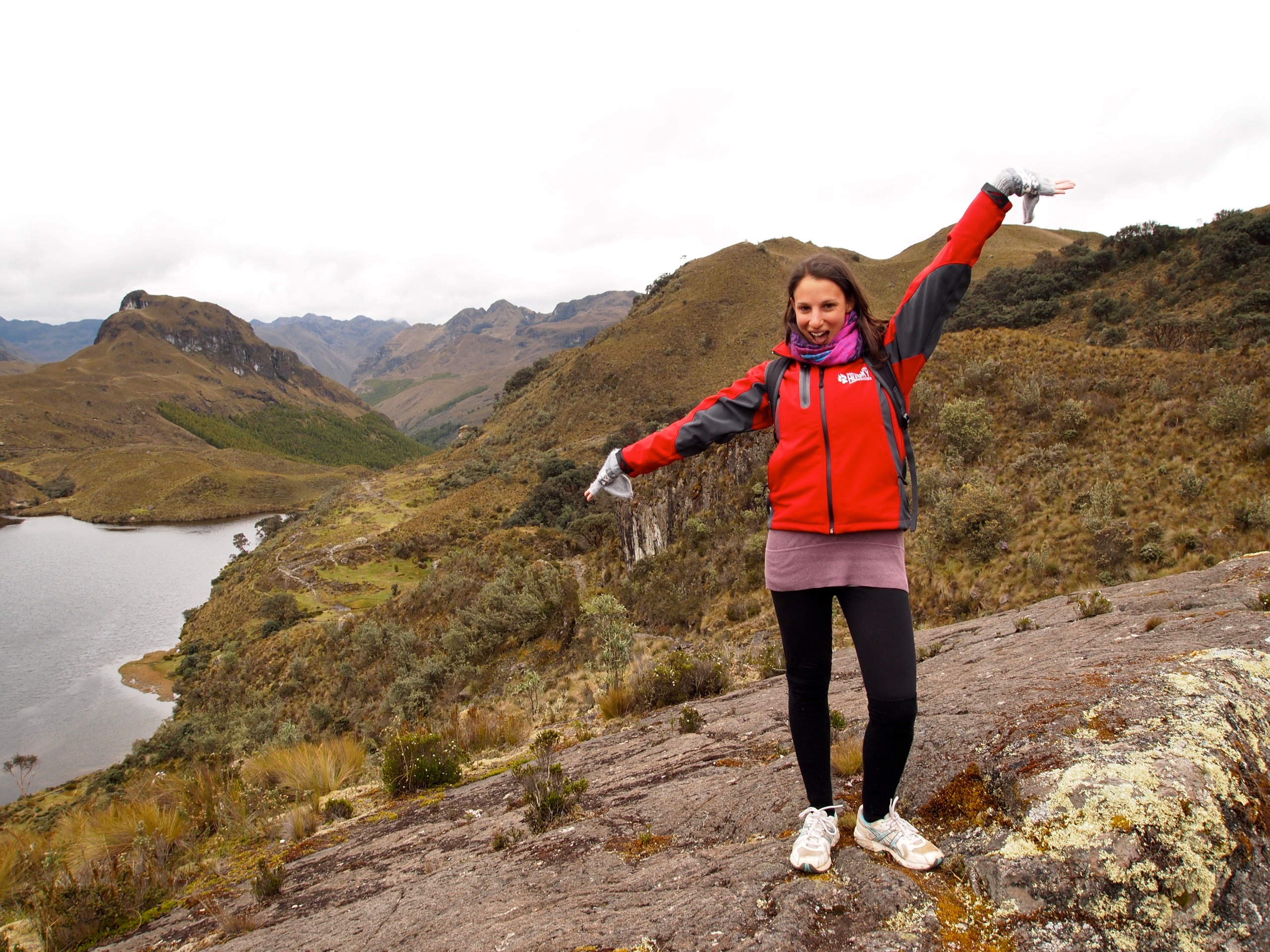
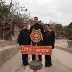
And here is a picture of me, Pascal and Kathleen hanging out with the Ecuadorian equator line on Thursday. The museum at the line was mostly cheesy, but it was fun to be at the actual equator regardless!

Now, onto our day in Mindo!
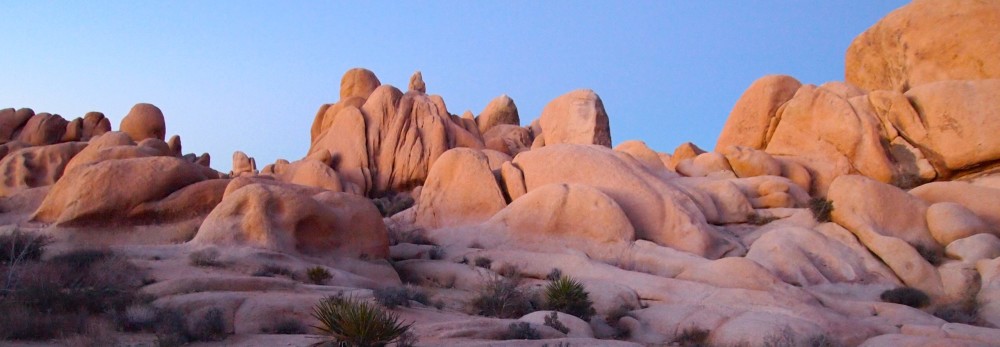
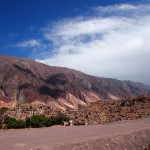
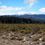
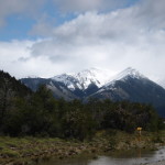
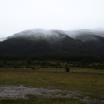
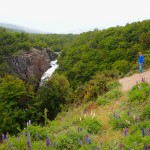
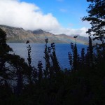
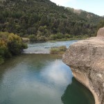
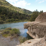
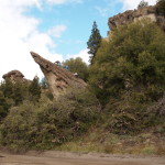
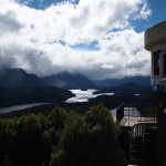
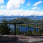
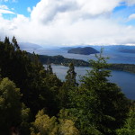
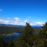
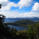
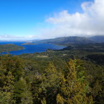
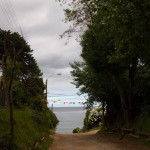
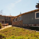
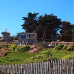
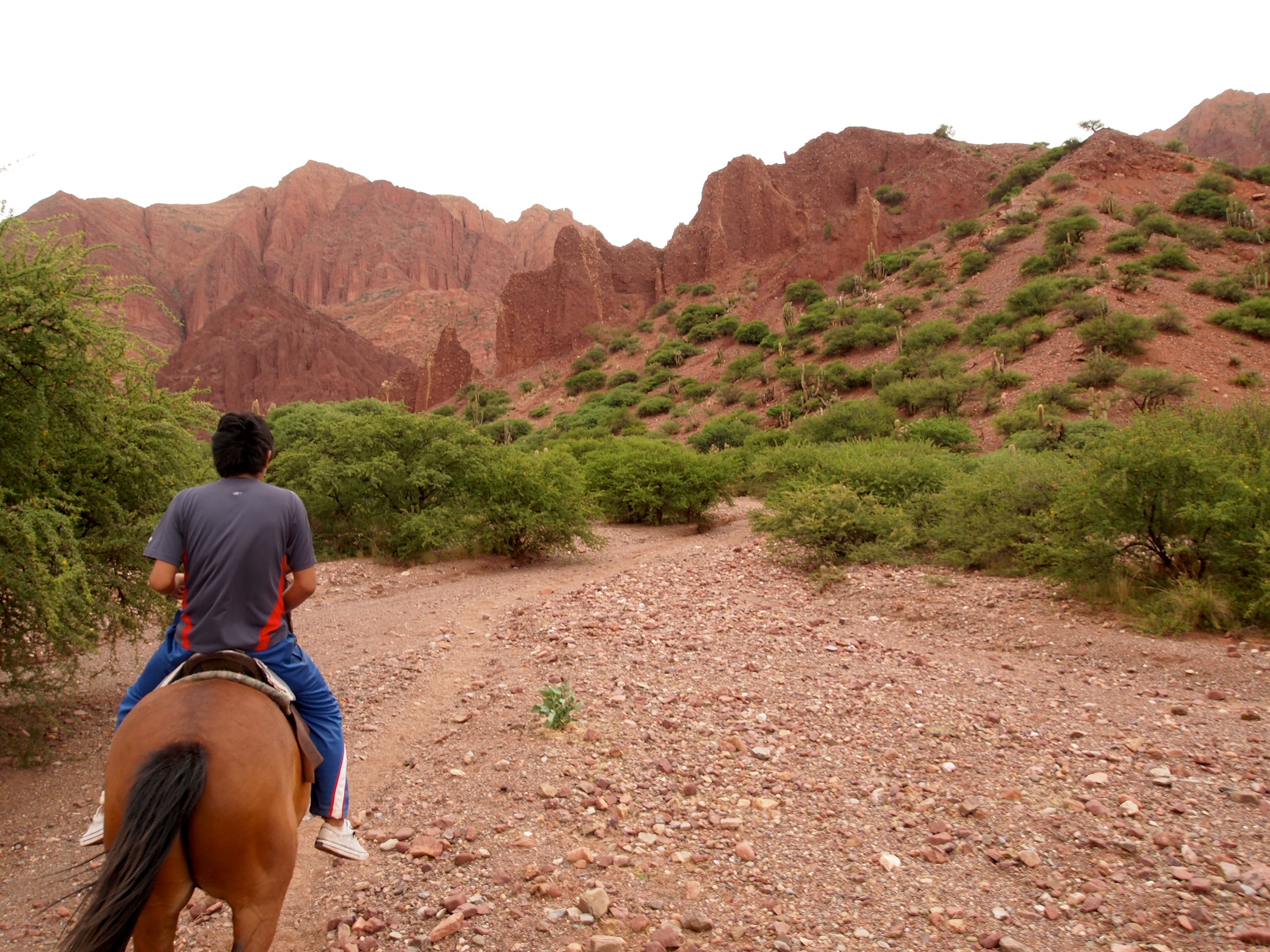
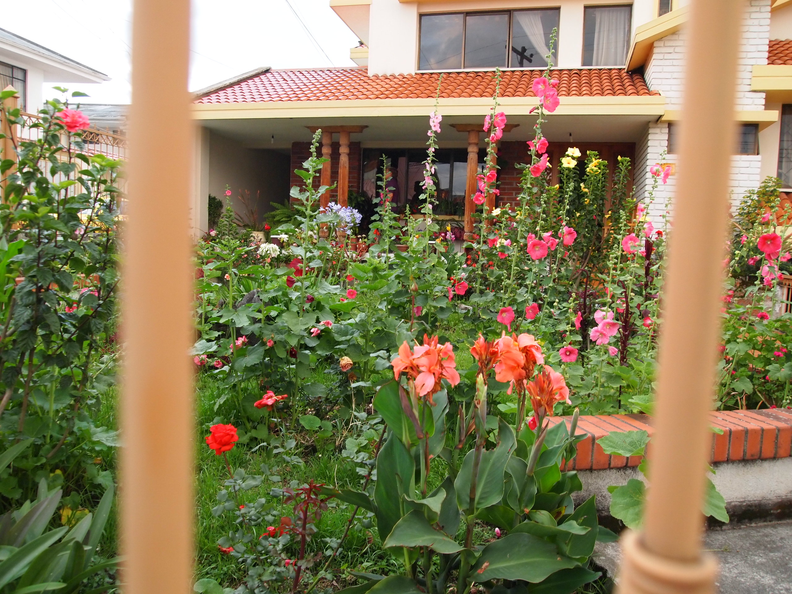
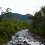
My host family (who, btw, are super sweet, I’m so sad to be leaving them tomorrow!) had mentioned over dinner one night that Mindo, the cloud rainforest just two hours northwest of Quito, is really beautiful and that it’s a shame I didn’t have more time in Quito to spend some time there. I had been itching to get to a rainforest, especially since I don’t want to go deep into the Amazon on this trip. I mentioned Mindo to Kathleen and she was interested as well, so we decided to ditch classes on Friday and spend the day there.
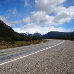
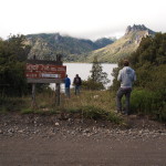
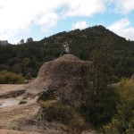
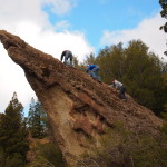
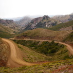
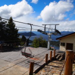
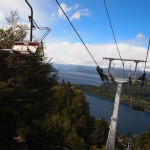
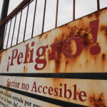
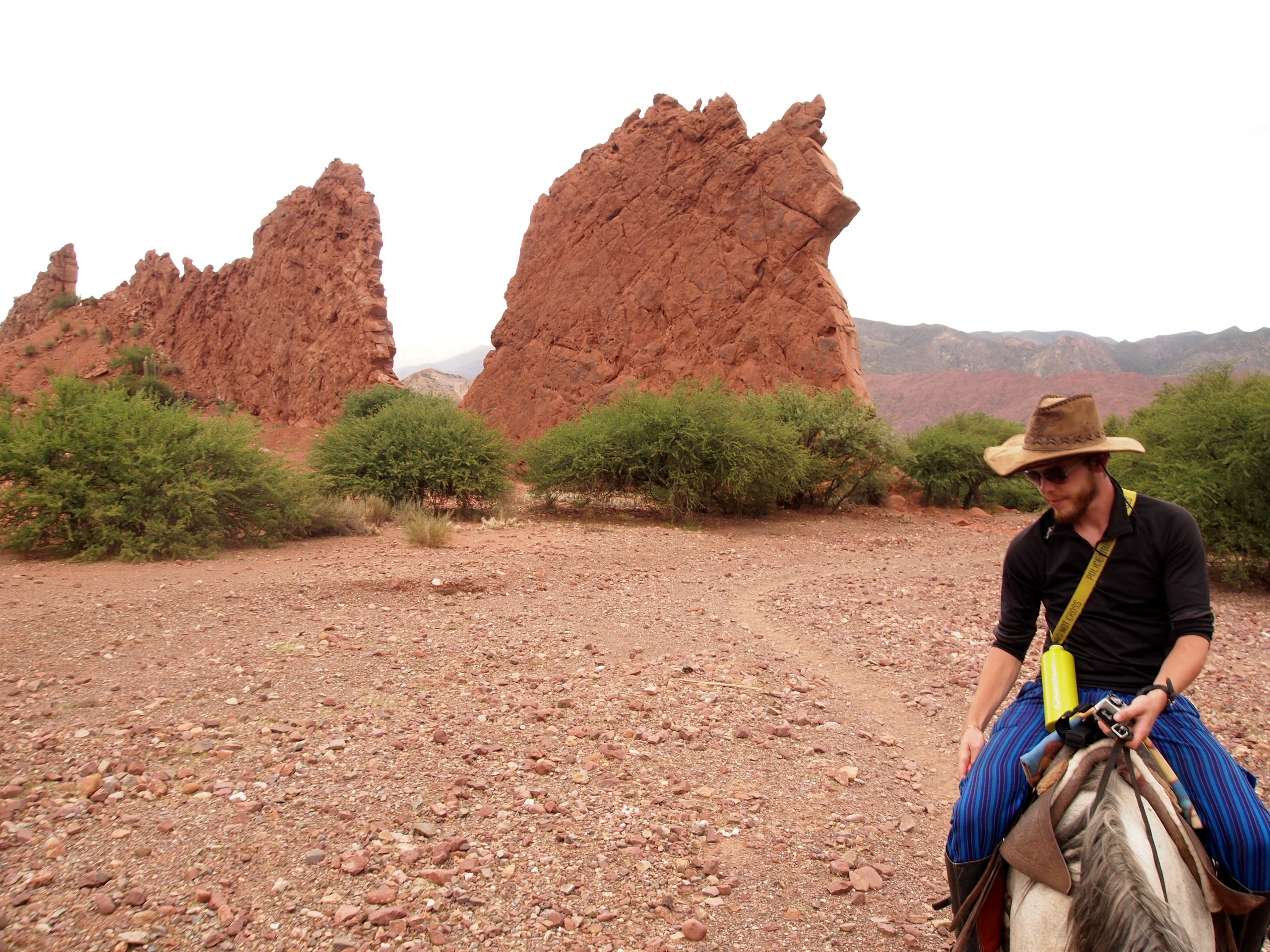
After gathering a plethora of detailed instructions and information from our teachers and administration at the school, we hopped in a taxi at 7:30 AM and headed to the bus station. We got on the bus to Mindo no problem (and for a whopping $2.50 each), and were on the road by 8 AM. We arrived at 10 AM and found a tour agency, where we bought tickets for the Mindo Canopy Adventure – a 13 line zipline course. The lady at the agency showed us the location of the zipline course on the map, saying we could pay $4 for a taxi or just walk ourselves. Eager for some physical activity, the course looked close enough on the map, so we opted to walk.
Mistake numero uno.
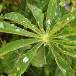
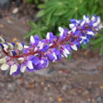
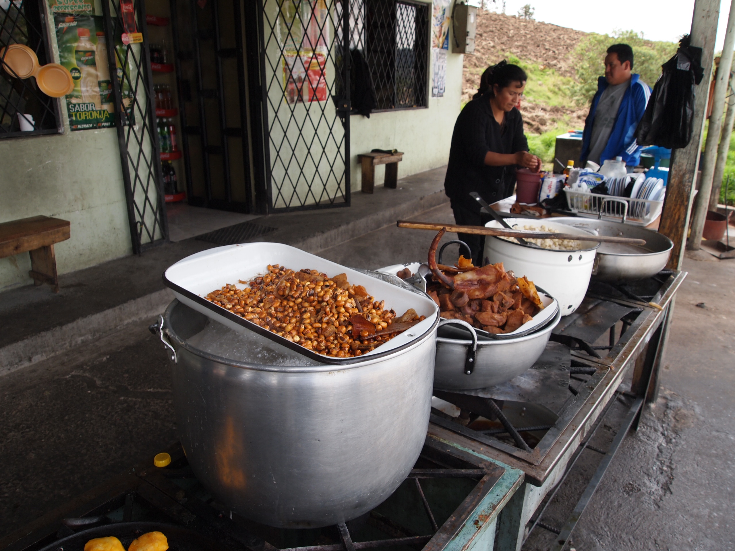
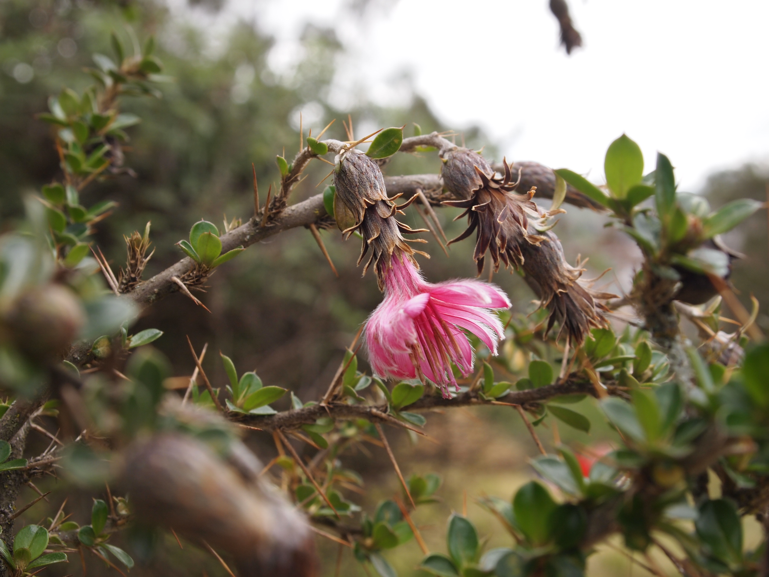
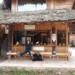
South American maps are wrong. And deceptive. Okay, a gross exaggeration. But this isn’t the first time I’ve been deceived. A tiny little squiggle of a road in the bottom right corner of the map turned out to be a gigantic hill with many, many dusty switchbacks that we had to climb. We got to the course and were absolutely drenched in sweat. We had both significantly overdressed, considering how cold it was in Quito, and we quickly discovered our long pants and long sleeves were completely unnecessary. We did, however, take a nice little break at an adorable juice stand with cute wood swings for seats, and each indulged in batidos, amazing, fresh fruit smoothies. I never loved maracuya (passionfruit) in the States, but the fruit here is so fresh, maracuya has quickly become my favorite.

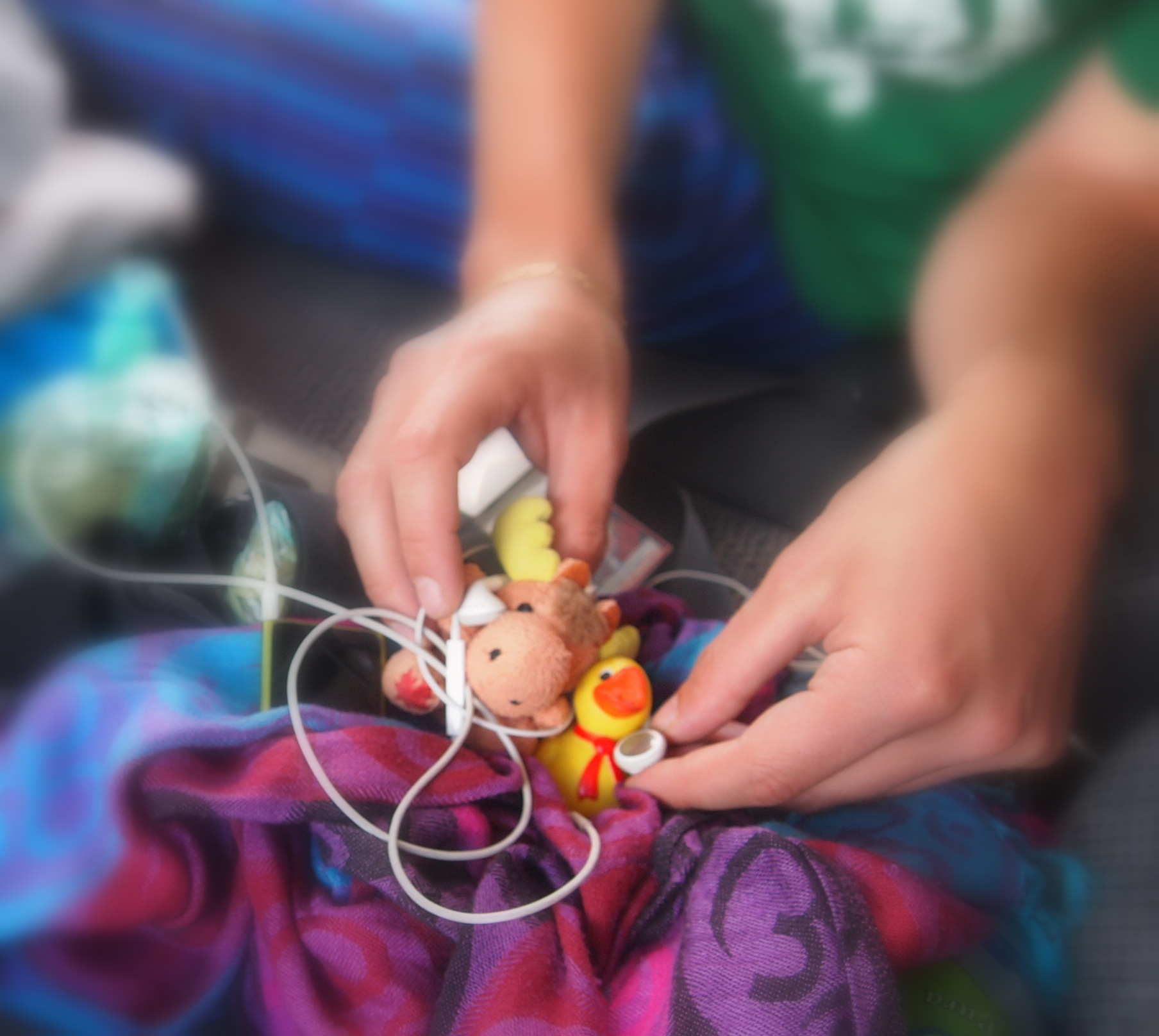
Stella loves fresh juice stands too!

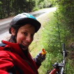
Kathleen being super silly in front of our new favorite juice stand!
When we finally arrived, we signed waivers, checked our backpacks, got all strapped in and got our basic instructions for the zipline. In our exhaustion/excitement to start, we had rolled up our pants/leggings but forgot to put on bug spray.
Mistake numero dos.
After the first amazing, totally exhilarating zipline, we had to hike. And when I say hike, I mean up a very long, serious set of steps and along paths with very steep inclines. That’s when the nausea and altitude sickness began to kick in, and when I realized aside from a few bites of granola on the bus and my juice, I hadn’t eaten or drank any water yet that day.
Mistake numero tres.
Feeling totally faint and completely out of breath, we continued on the course. I was having a blast when I was on the actual ziplines, ironically, but when we had to walk — I mean hike — between lines, I was worried I was going to faint. I was seeing spots and ridiculously dizzy. Not safe! Luckily, I held it together and didn’t pass out, and when we finally finished I chugged a ton of water and was all set.
Mistake number two became a reality when I looked down at my legs at the end of the course to discover at least 20 bug bites covering the space between my knees and my sock line. Oops. As I type, I am trying desperately not to scratch my legs off.
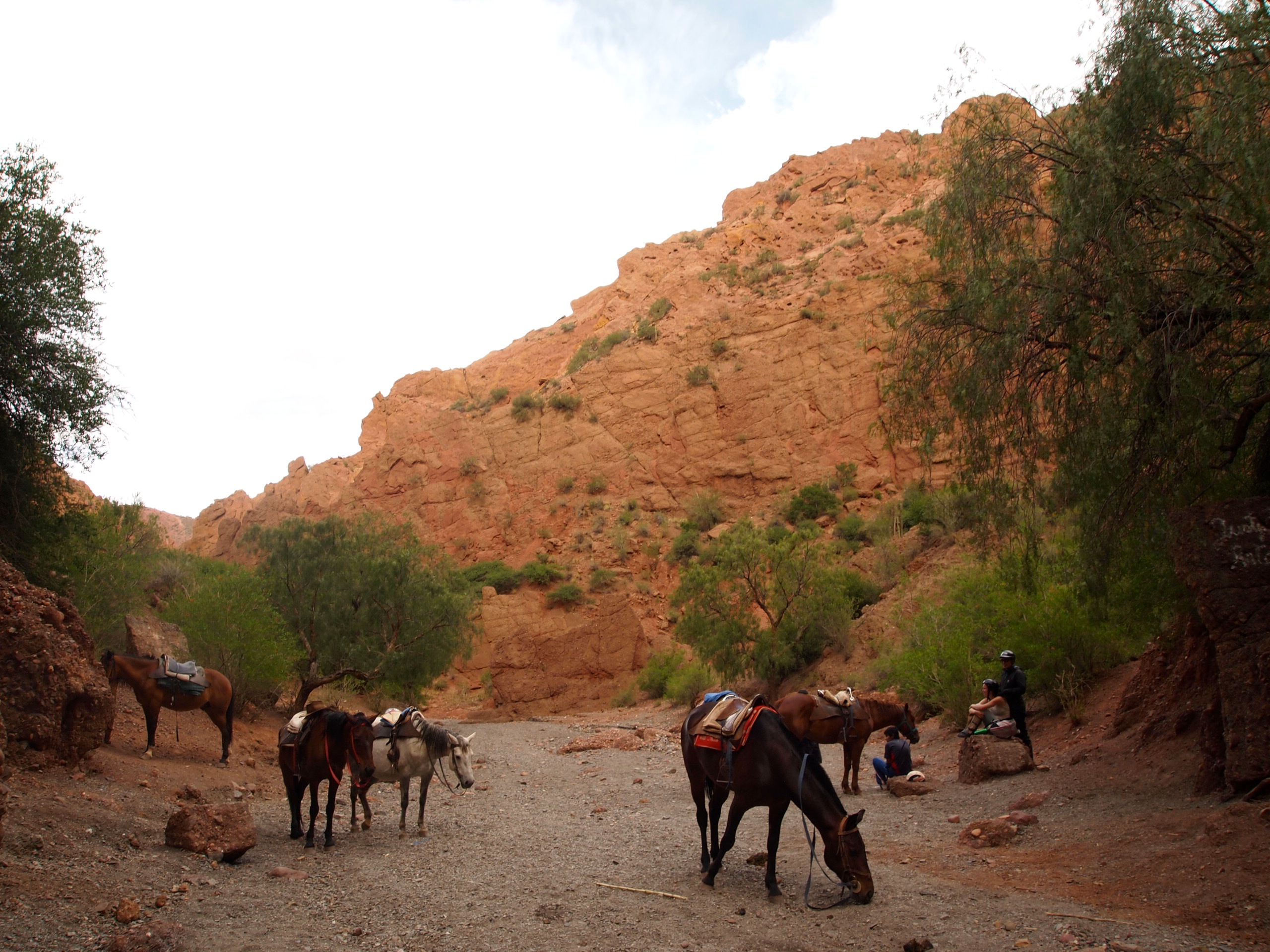
We hiked the mile and a half-ish (it’s questionable how long the walk actually was, but it was a solid 25 minutes, so we’re guessing at least a mile and a quarter, if not more) back to town and indulged in a delicious pizza lunch. We ordered two salads as well, which turned out to be wayyyy too much food, but completely delicious regardless.

Possibly one of the best veggie pizzas I’ve ever had. So delicious!
Suddenly, I looked down at my watch to realize it was 2 PM, and the last bus back to Quito, which we’d bought tickets in advance for, was at 3 PM. We figured we’d walk down to the butterfly garden, spend twenty minutes there, then hike back to town for the bus.
Mistake numero quatro.
We should have learned from our mistake that morning. The butterfly exhibit might have looked close on the map, but after a solid 30 minutes of fast-paced walking along a very curvy dirt road, each turn anticipating the butterflies to appear out of thin air, they were still nowhere to be found.
When we booked the canopy tour, the lady had asked if we were taking the 3 PM bus or the 5 PM, non-direct bus. So, wanting to take advantage of the fact that we were all the way out in this beautiful little town and wanted to have as much time as we could for the day, we decided to screw the $2.50 we’d spent on the 3 PM bus tickets and opt for the 5 PM instead.
Mistake numero cinco. (In case you can’t count in Spanish, we’re up to 5 mistakes thus far)
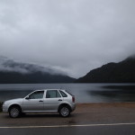
When we finally got to the butterfly garden, at just around 2:45, we asked the nice man working the front desk for some more information about the 5 PM bus. Turns out, this instance of non-direct means the bus takes 4 hours, not 2. Oh, and btw, he explained in Spanish, it doesn’t actually go to Quito, it goes to Santo Domingo, a far away suburb of Quito. And the second bus we’d need to catch to Quito from Santo Domingo doesn’t really have a schedule and picks you up at a random, yet very typical Ecuadorian, unmarked side of the road bus stop. We looked at each other and shrugged. We would just take a taxi back, knowing it would cost a fortune but it was too late, and worth not dealing with 5 plus hours of miserable local busses.
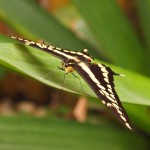
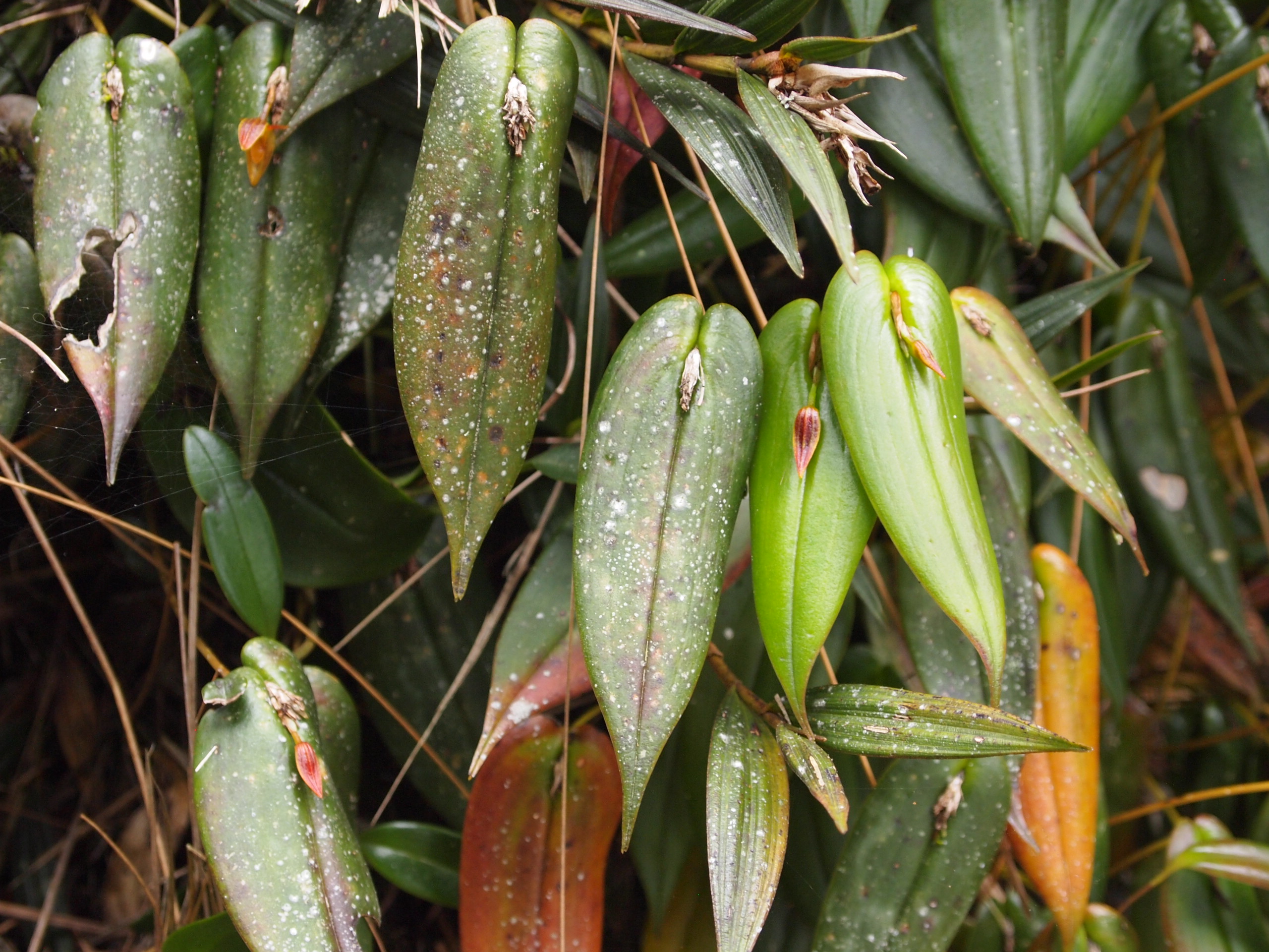
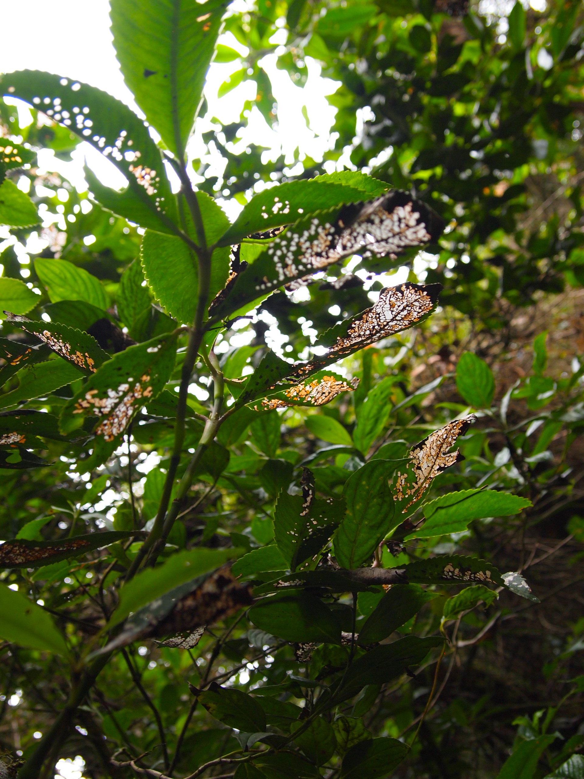
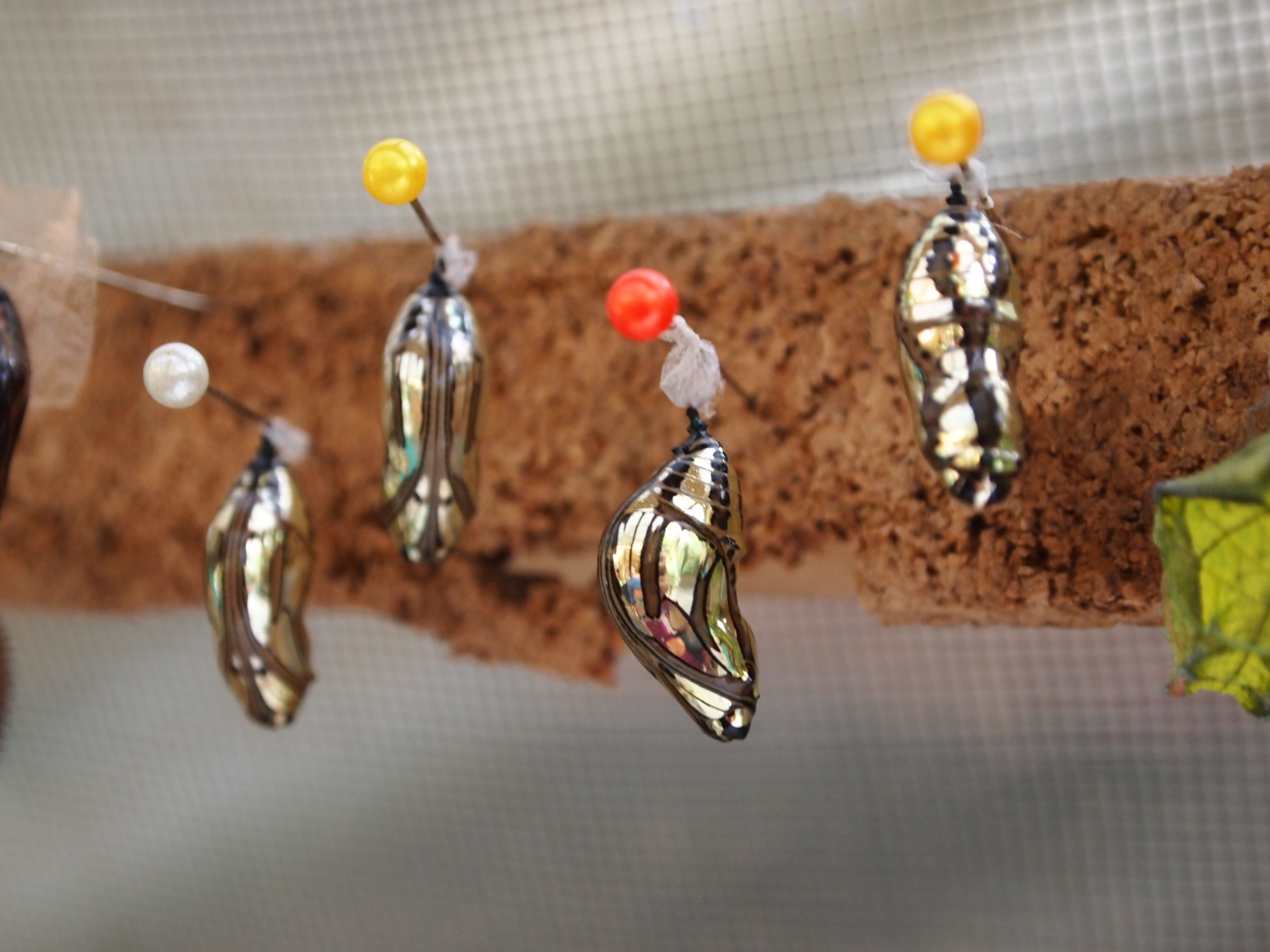
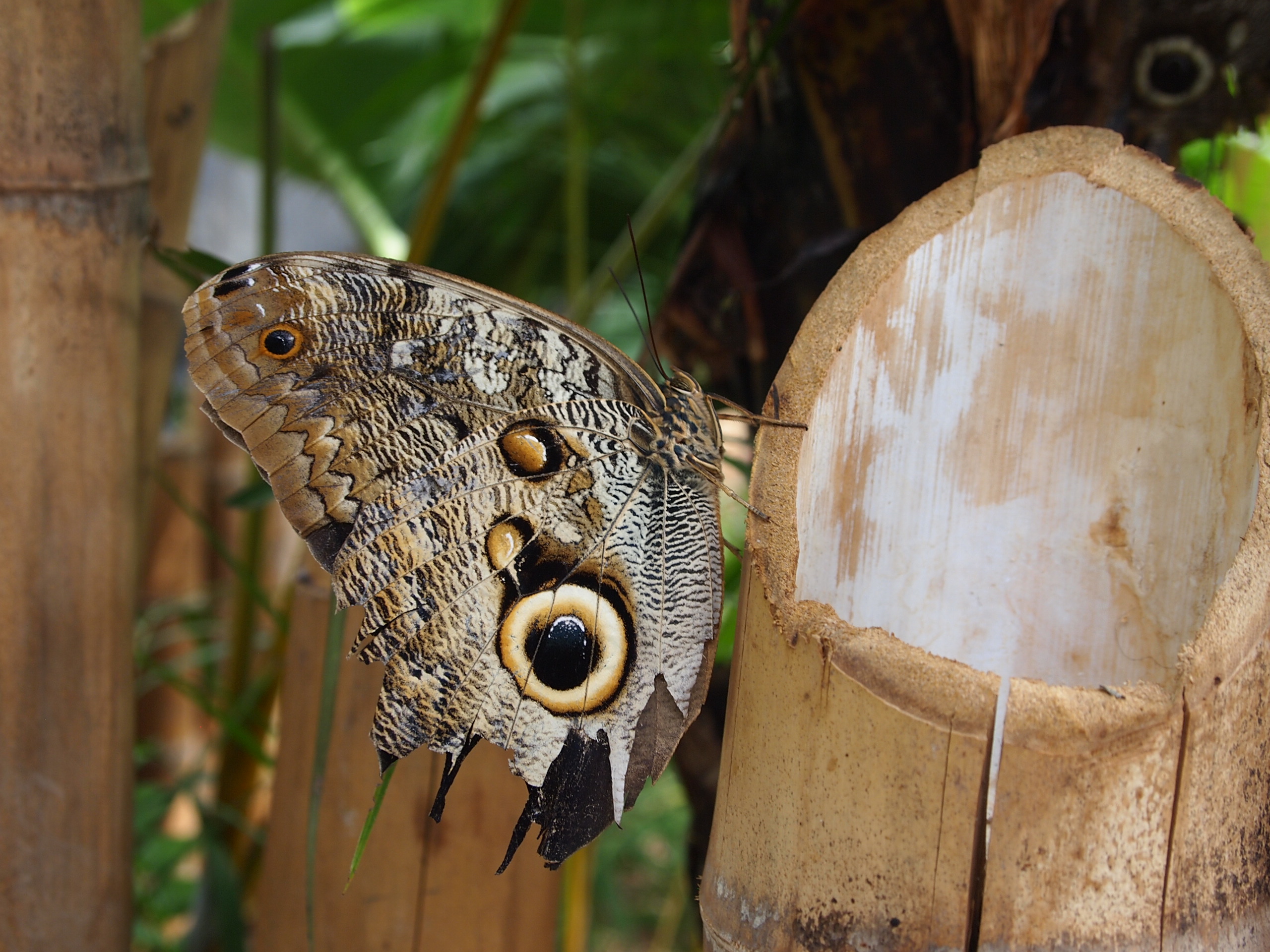
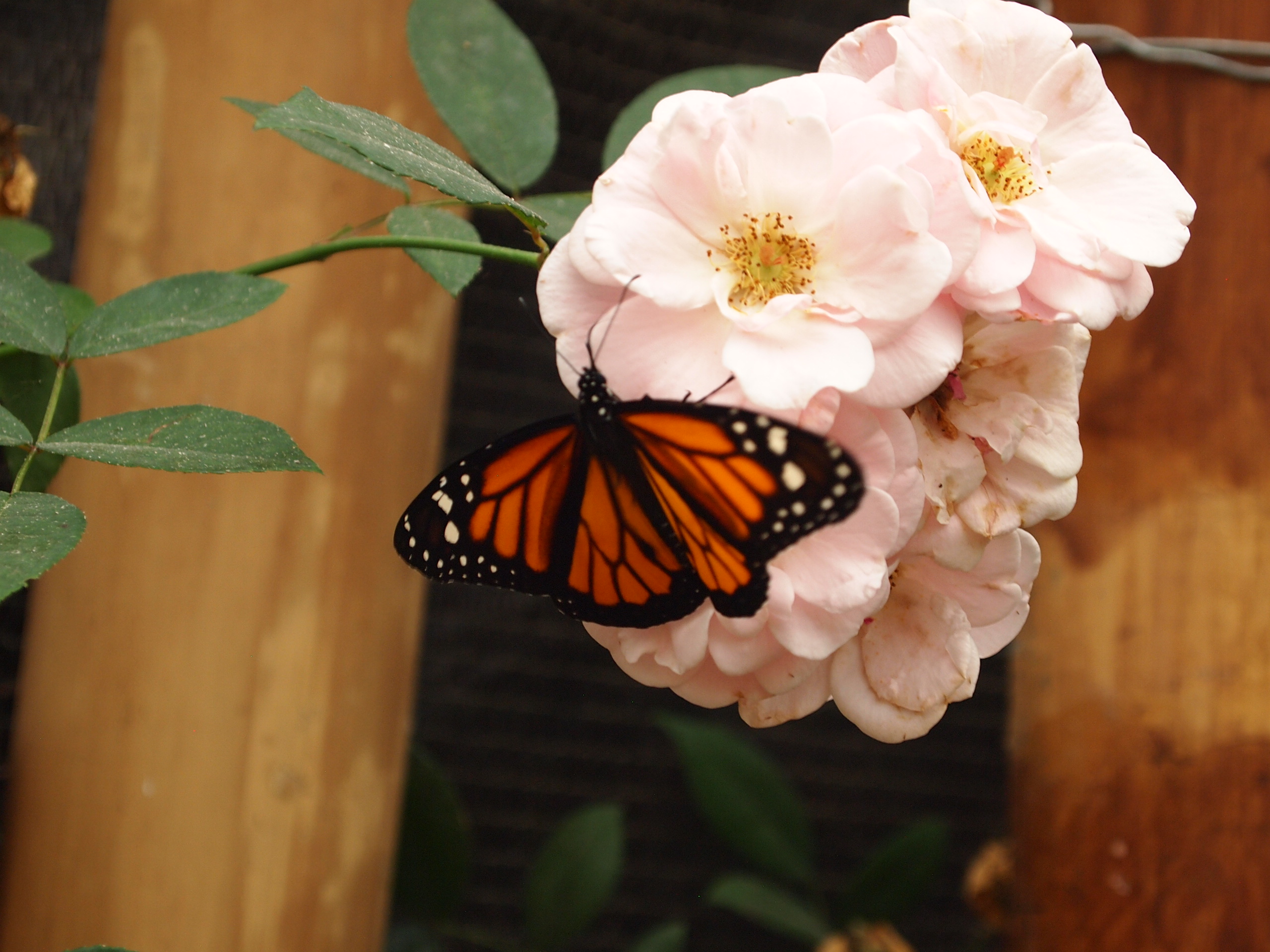
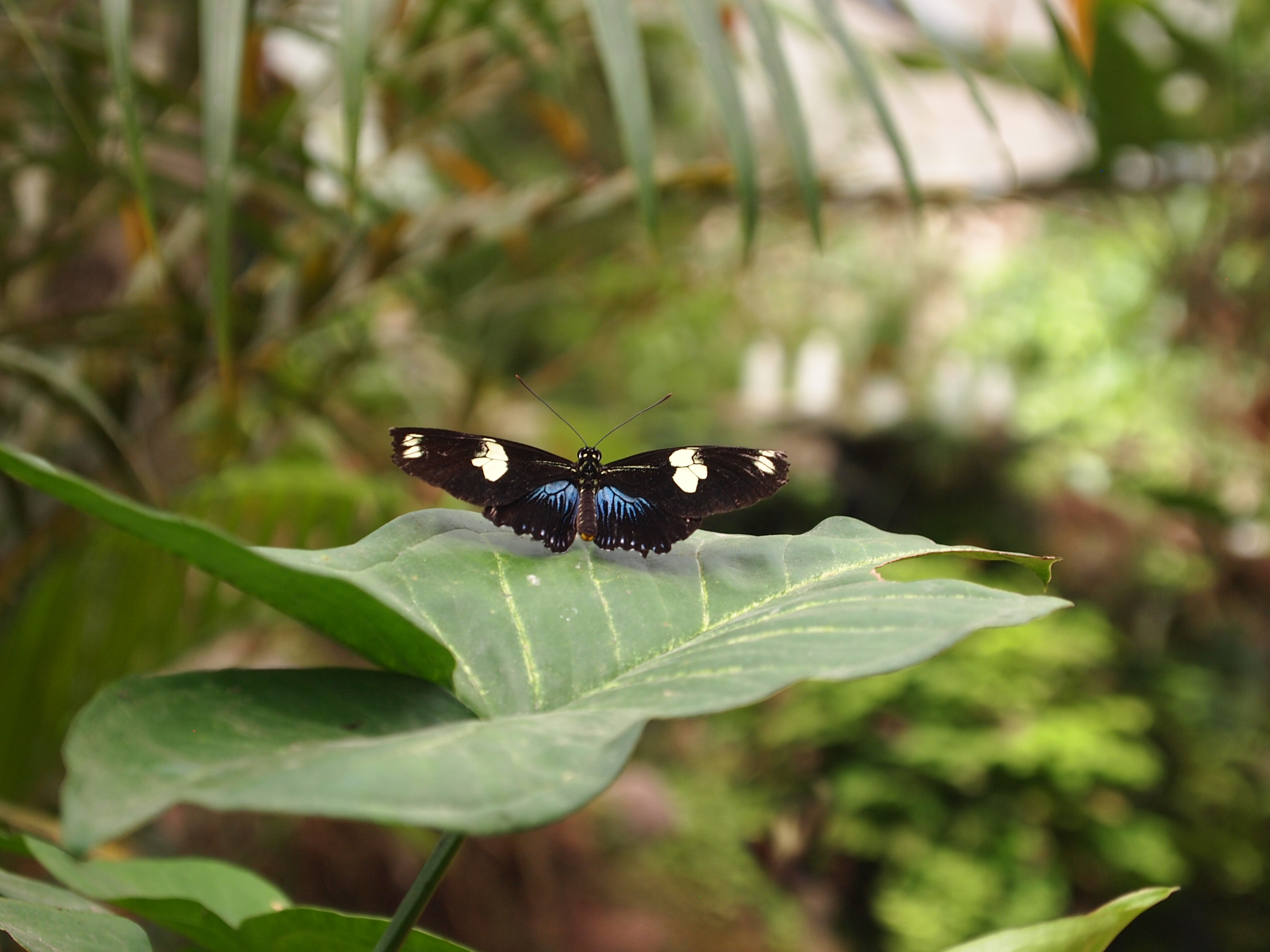
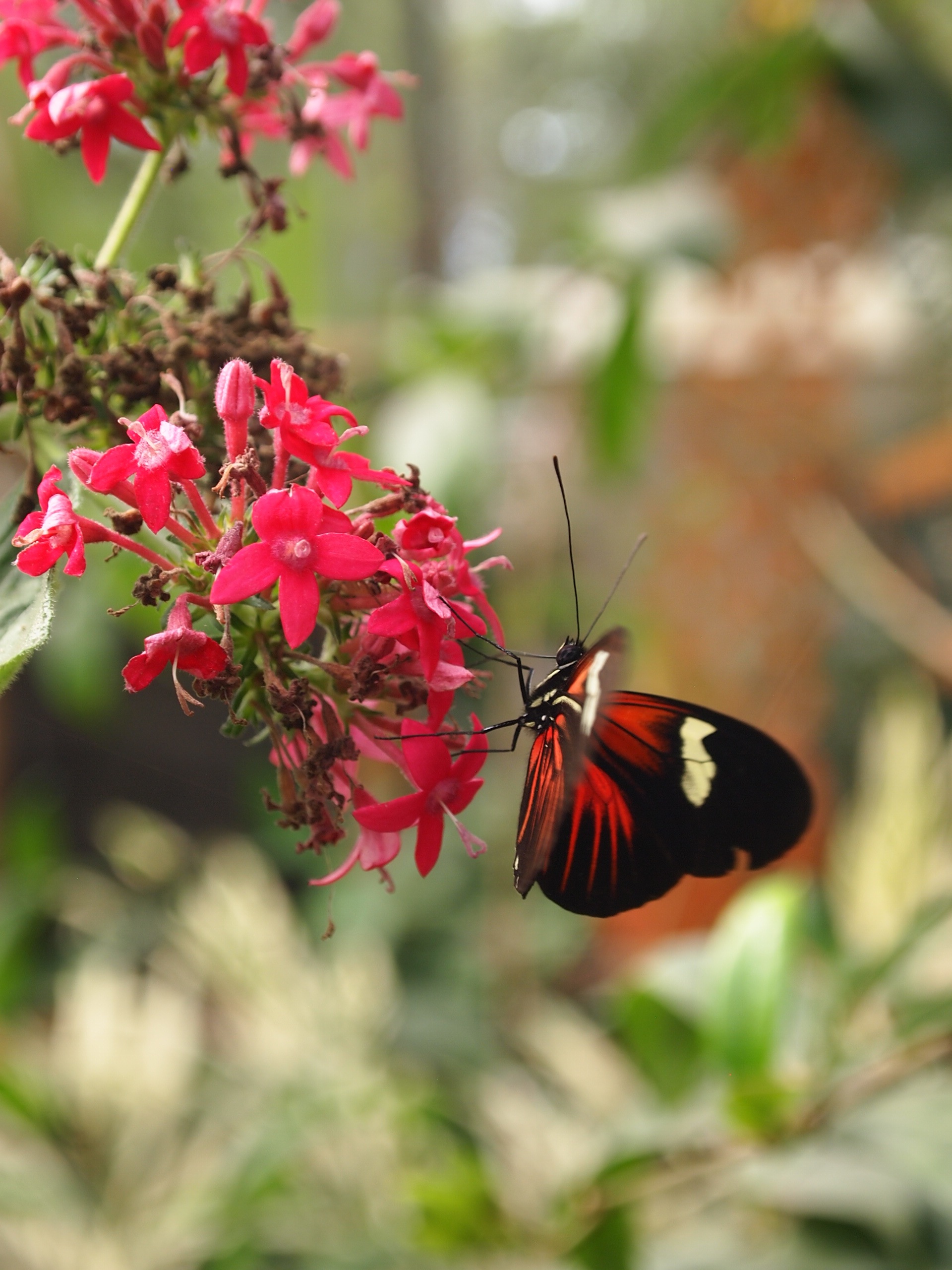
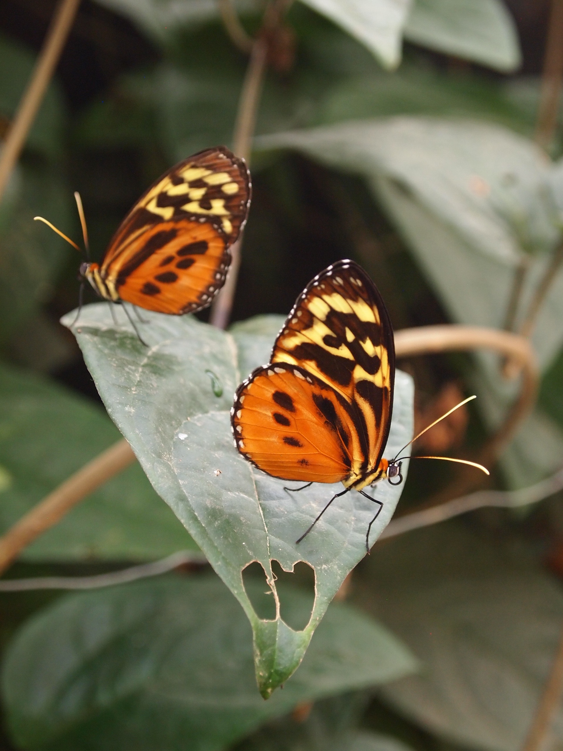
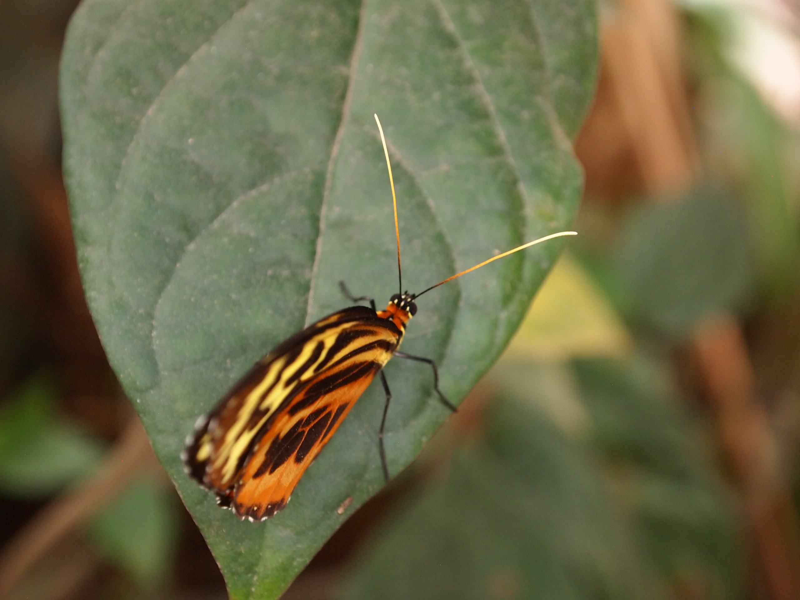
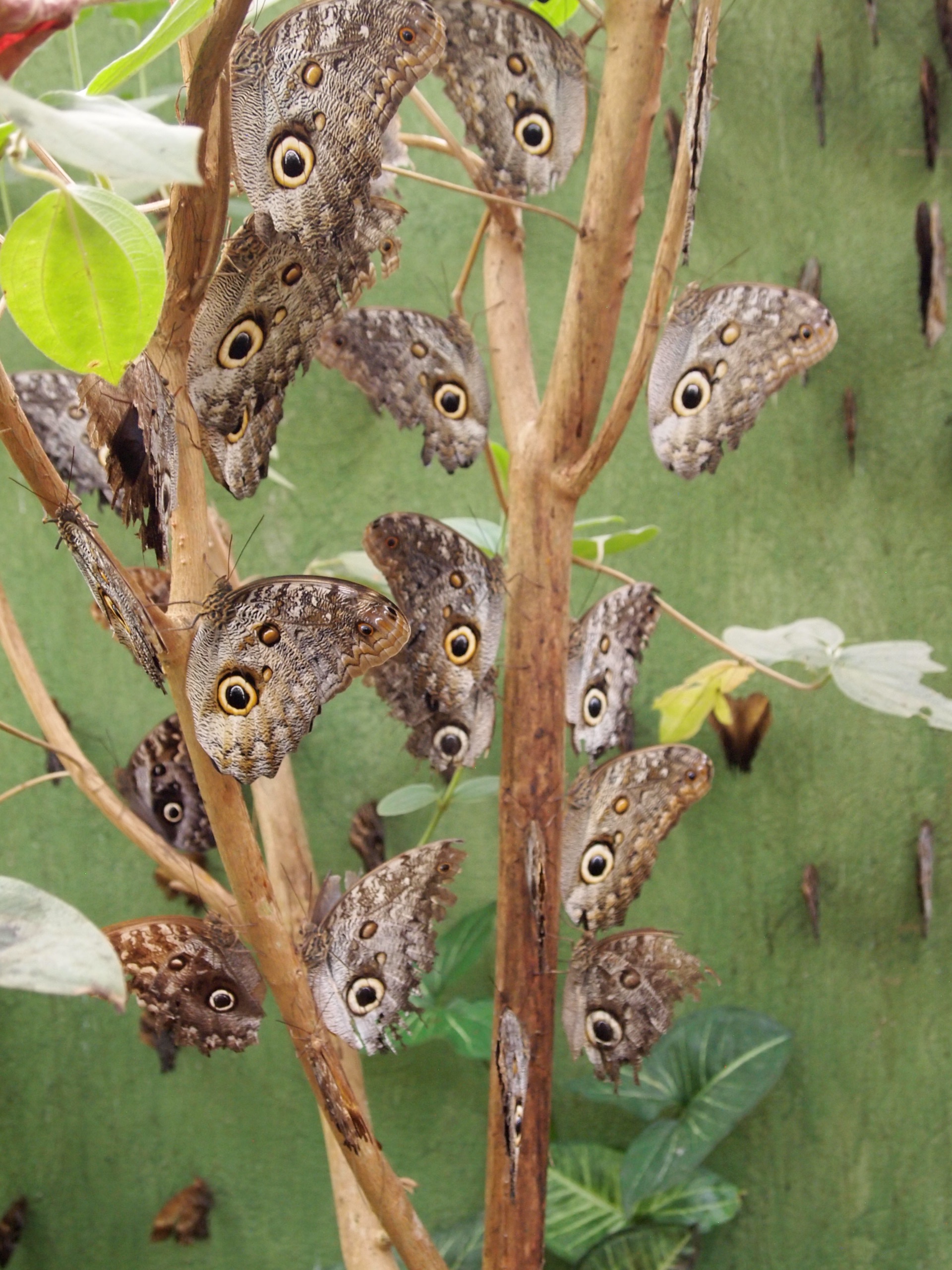
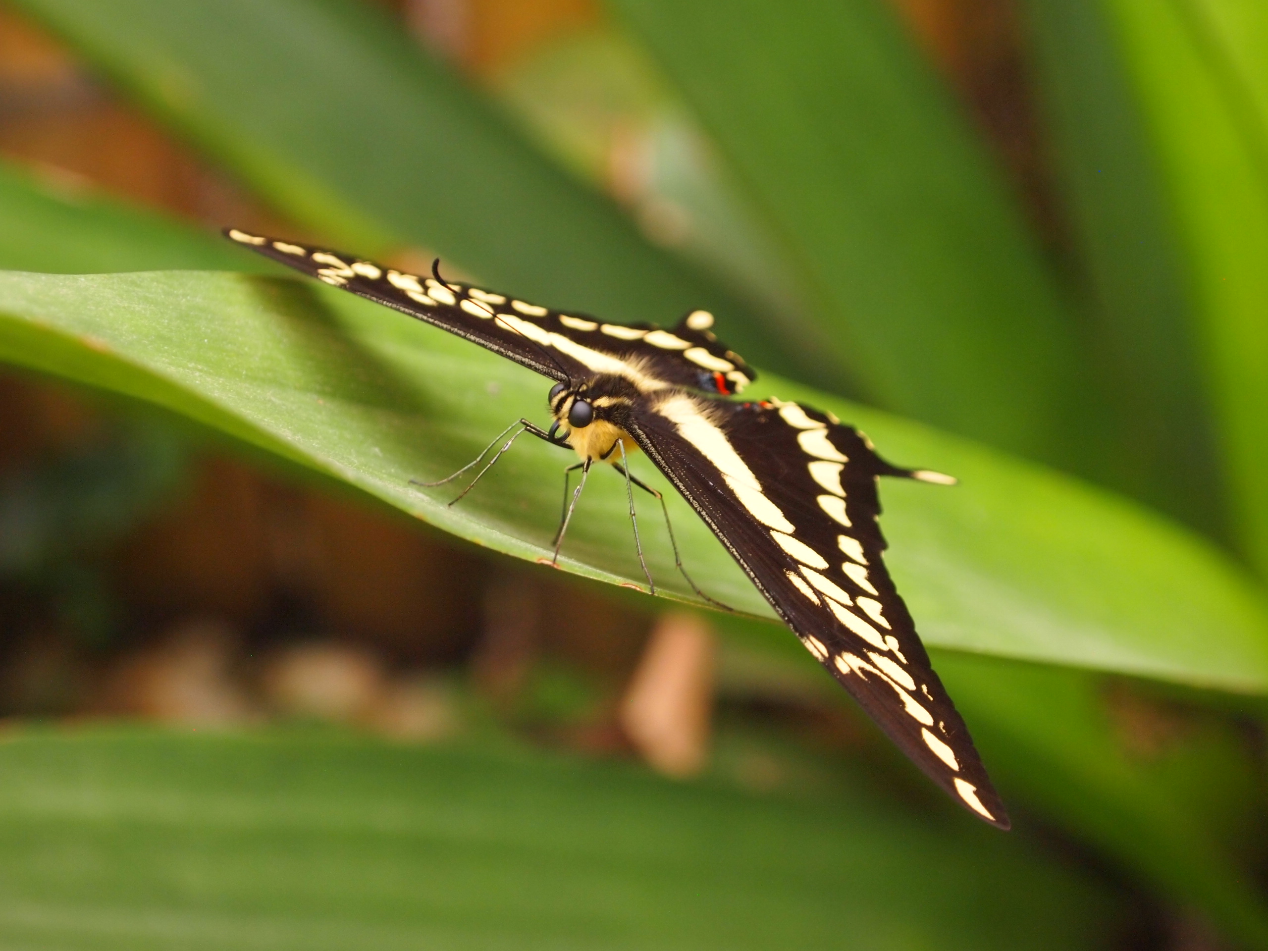
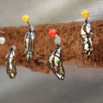
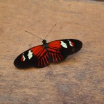
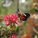
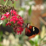
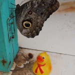
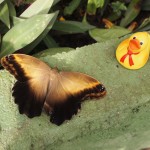
We had an amazing time with the butterflies — they were so beautiful and the garden was literally chock full of them — taking a ton of photos and just relaxing.

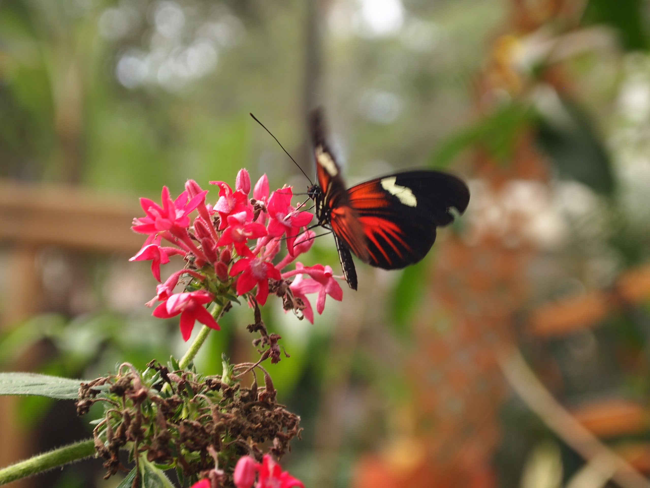
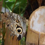
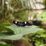
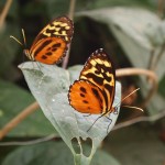
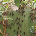
A female owl eye butterfly with its wings spread — such a gorgeous bright blue!

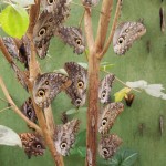
Owl eye butterflies… everywhere!

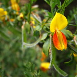
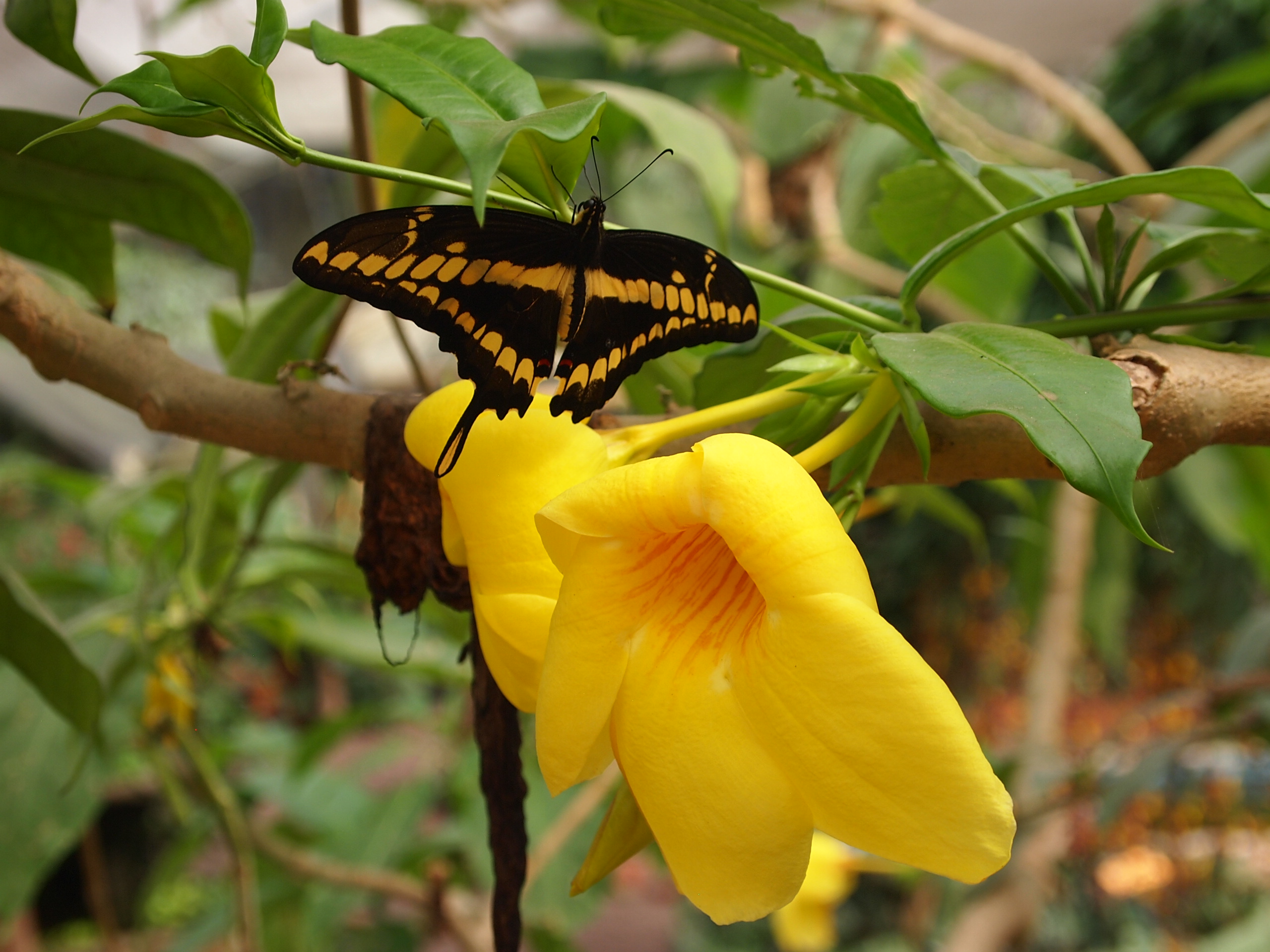
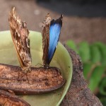
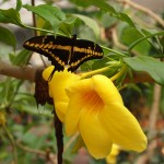
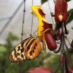
These guys were my favorite — such vibrant yellow and orange wings.
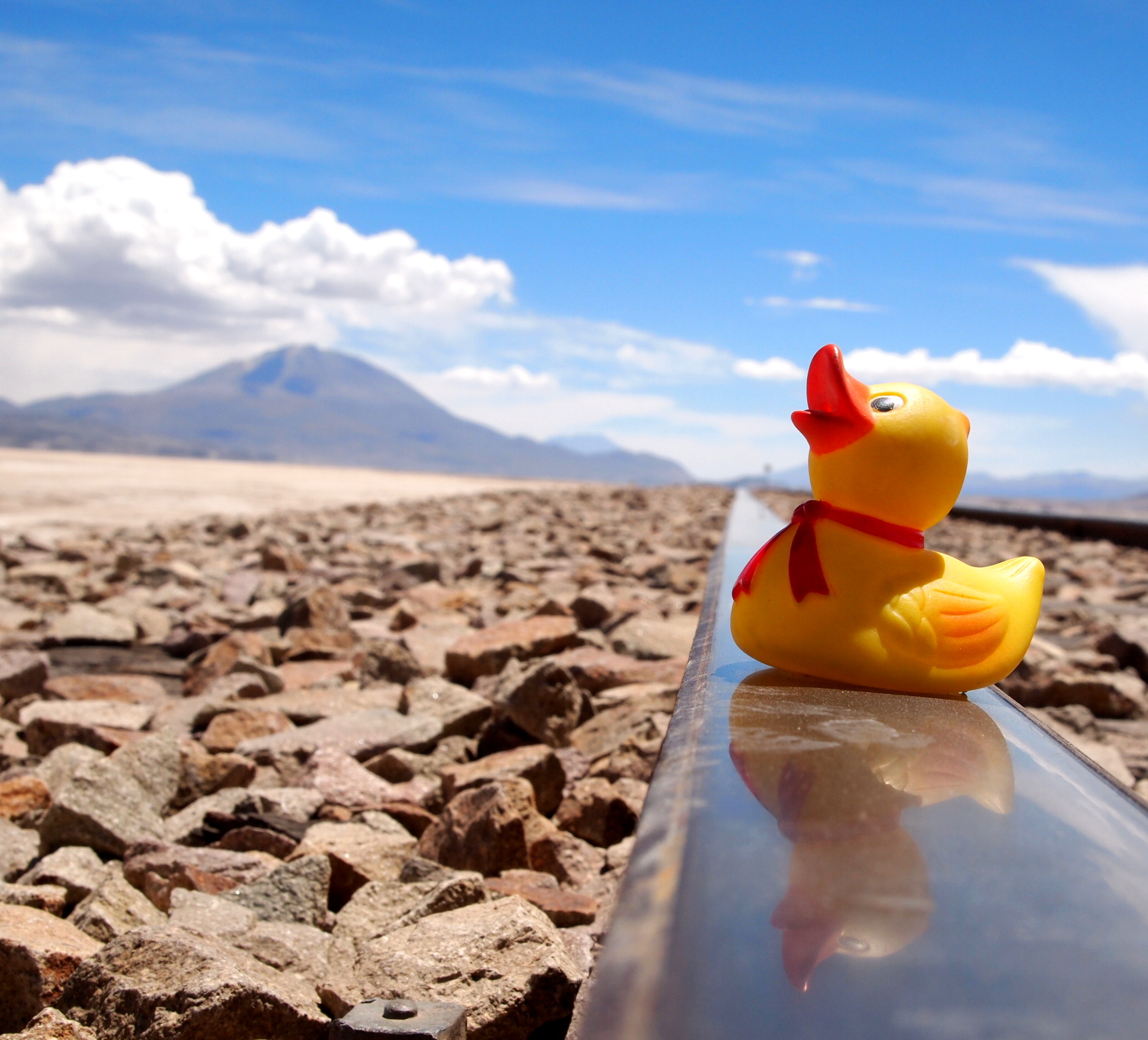
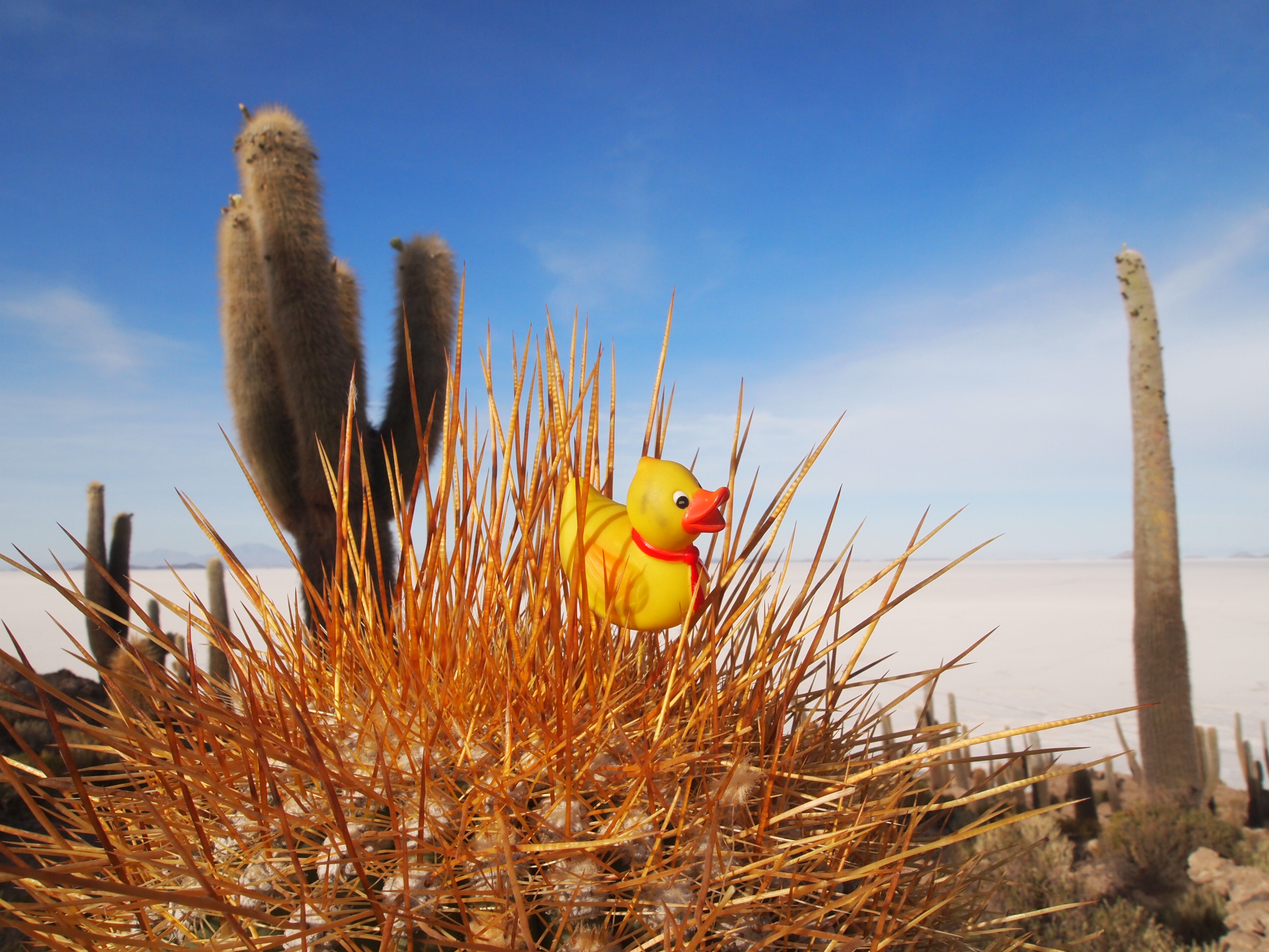
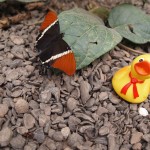
Oh, and Stella made some friends! Who knew butterflies and ducks got along so well 😉


More butterfly pictures in the gallery below!
An hour and a half later we made our way back through town, had a tour agency call us a cab (which we had accepted at that point would cost us $50) and hopped in our private SUV. A few minutes later, a killer headache set in. Luckily, we made it back to Quito in one piece — unfortunately, there was a dog that our driver hit somewhere along the way who can’t say the same. Ecuadorian drivers are insane, that’s all I have to say.
My headache was so bad at that point that all I had the energy to do was shower off the dirt and snuggle into bed to pass out, even though it was only 7:30 PM when we got home and I hadn’t eaten dinner.


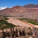
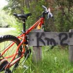
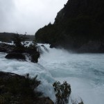
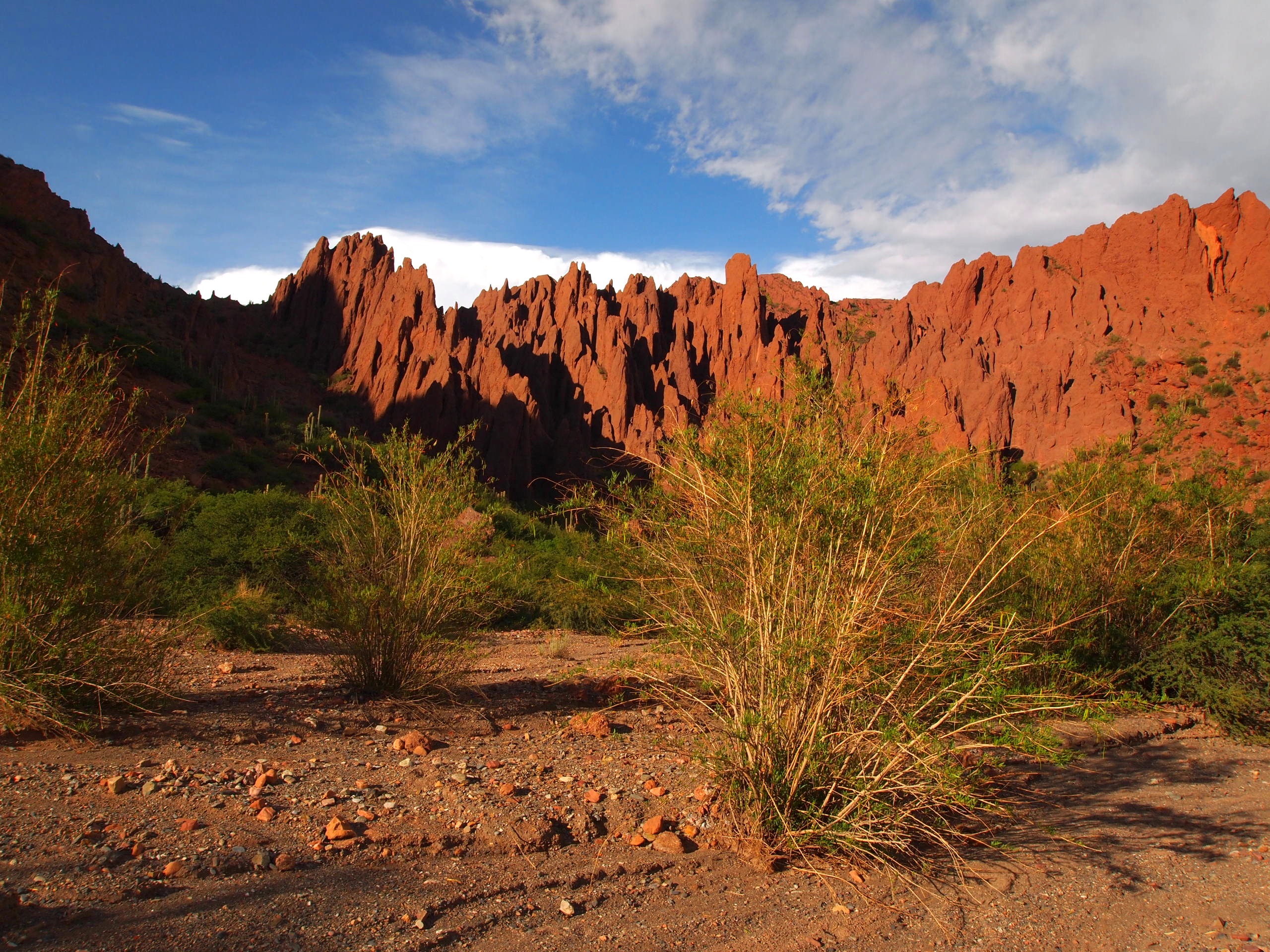
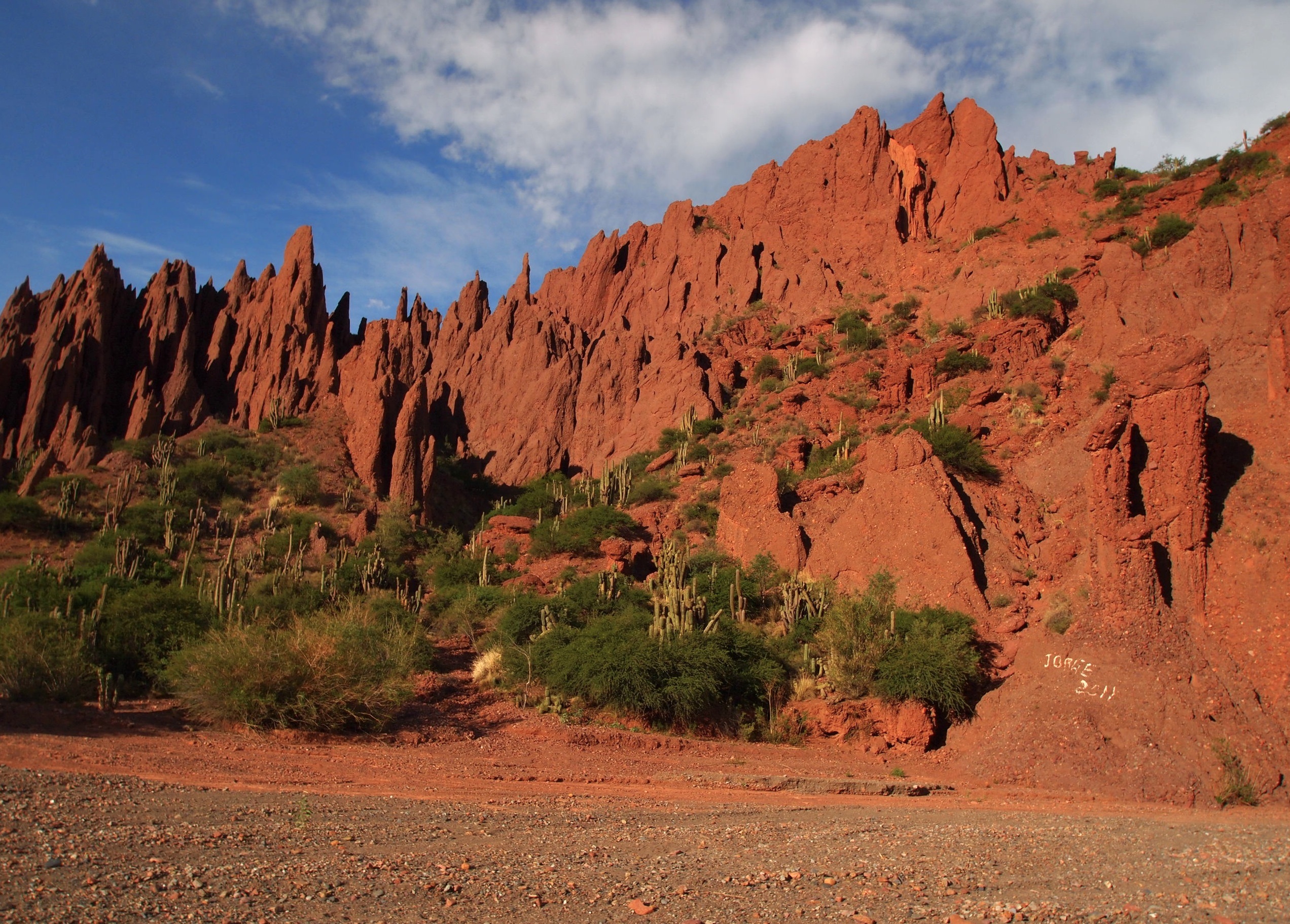
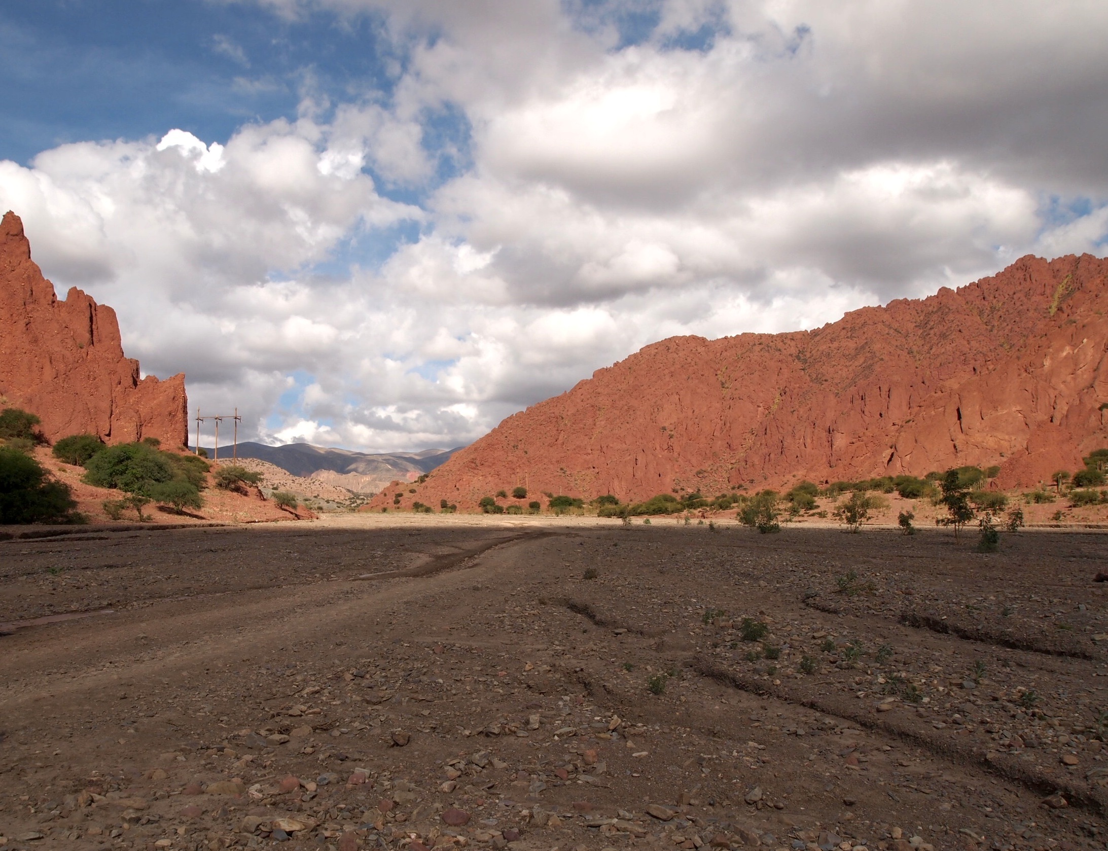
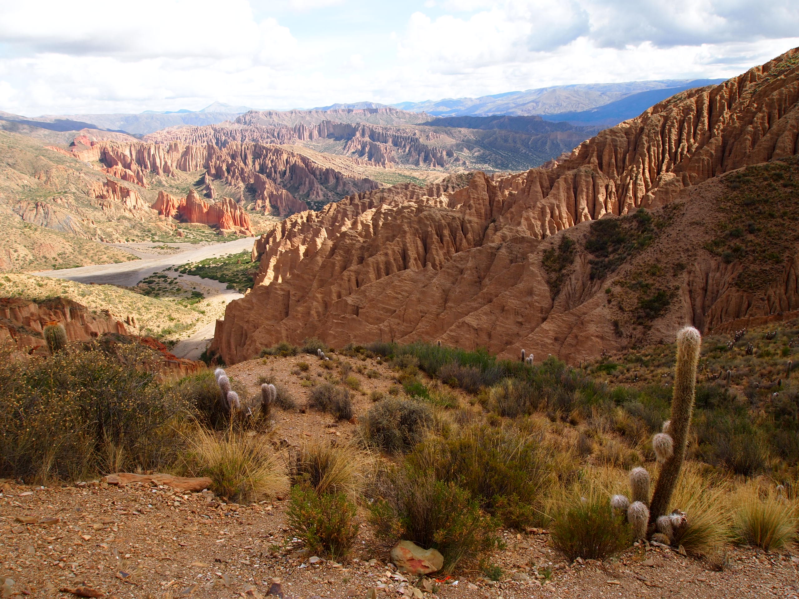
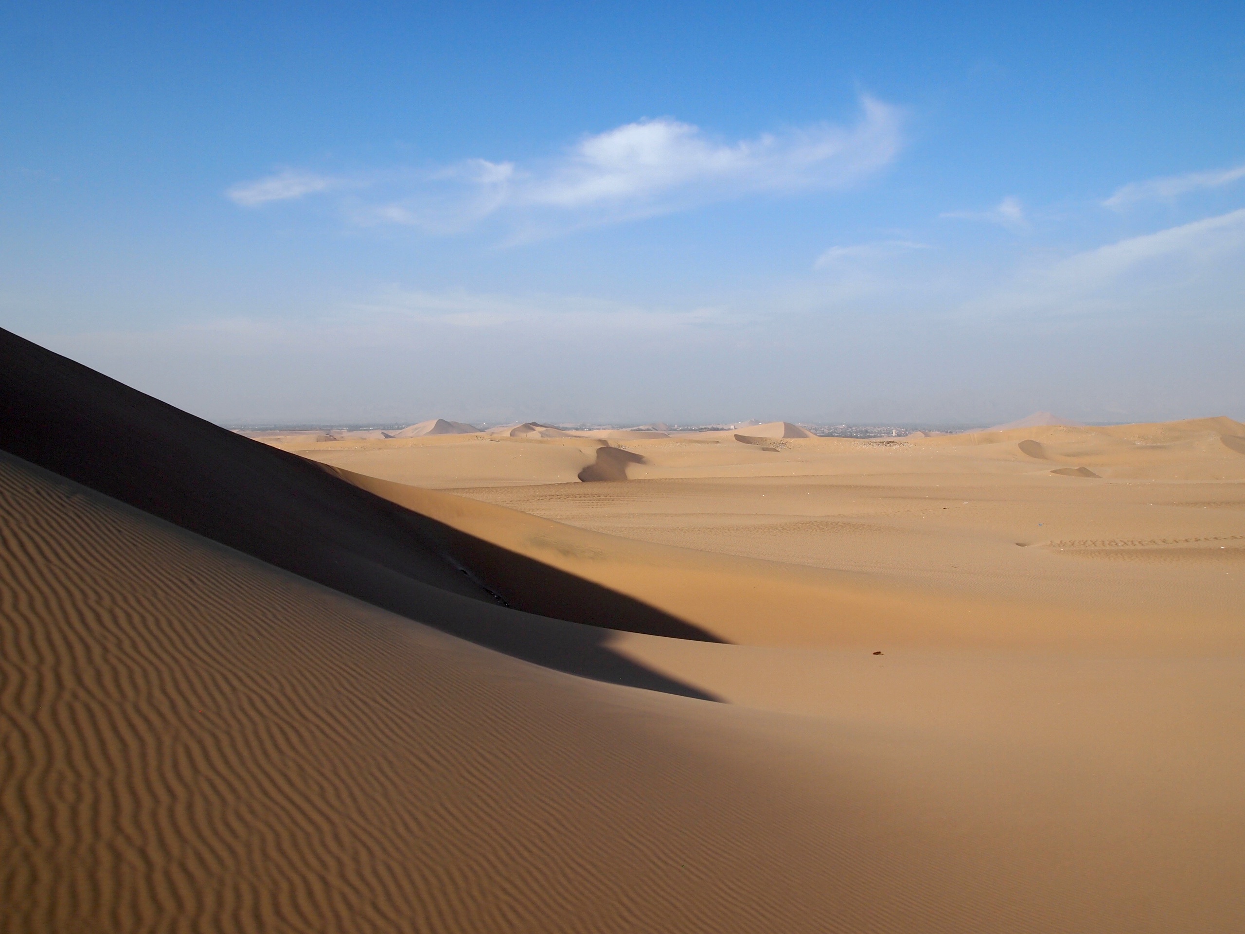
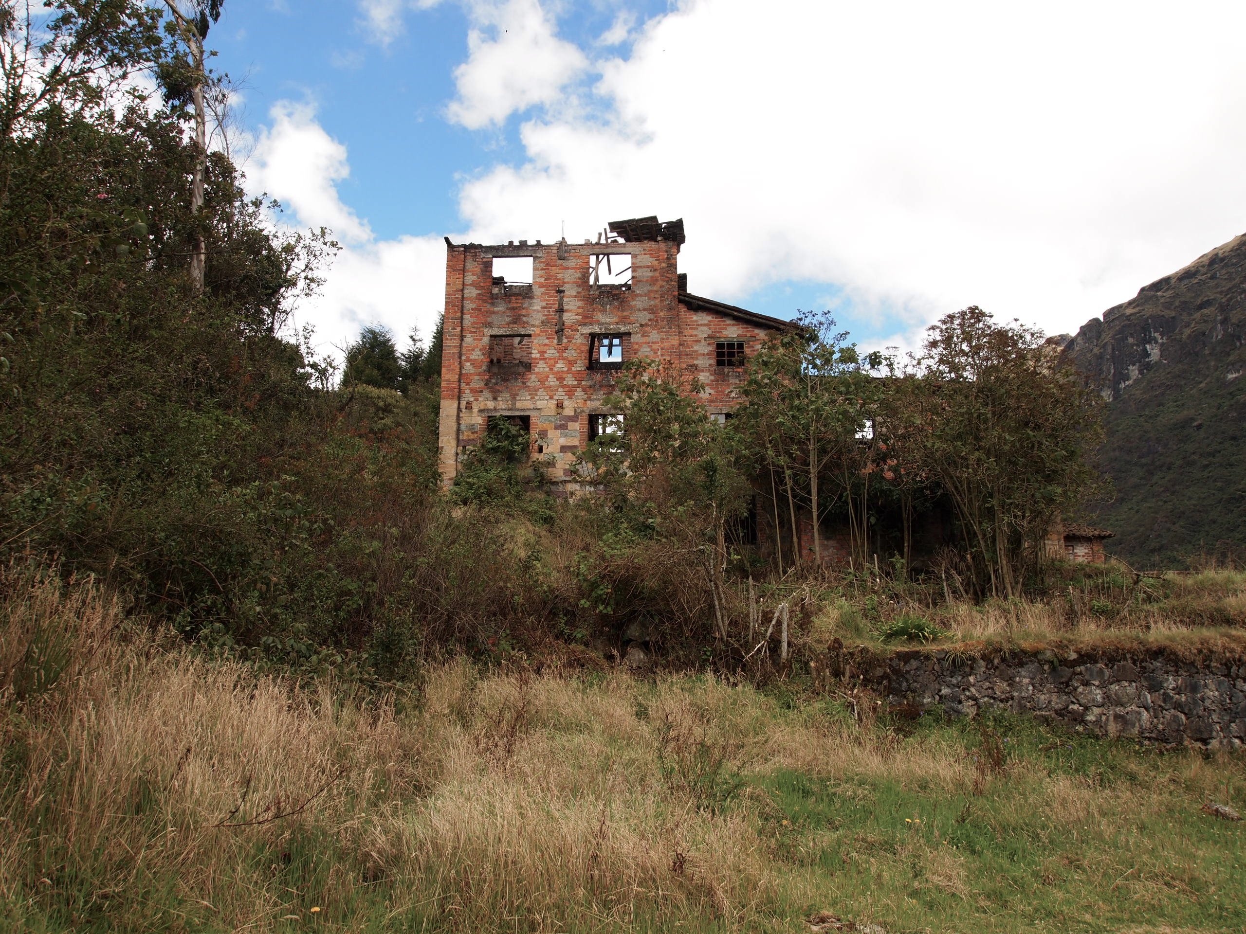
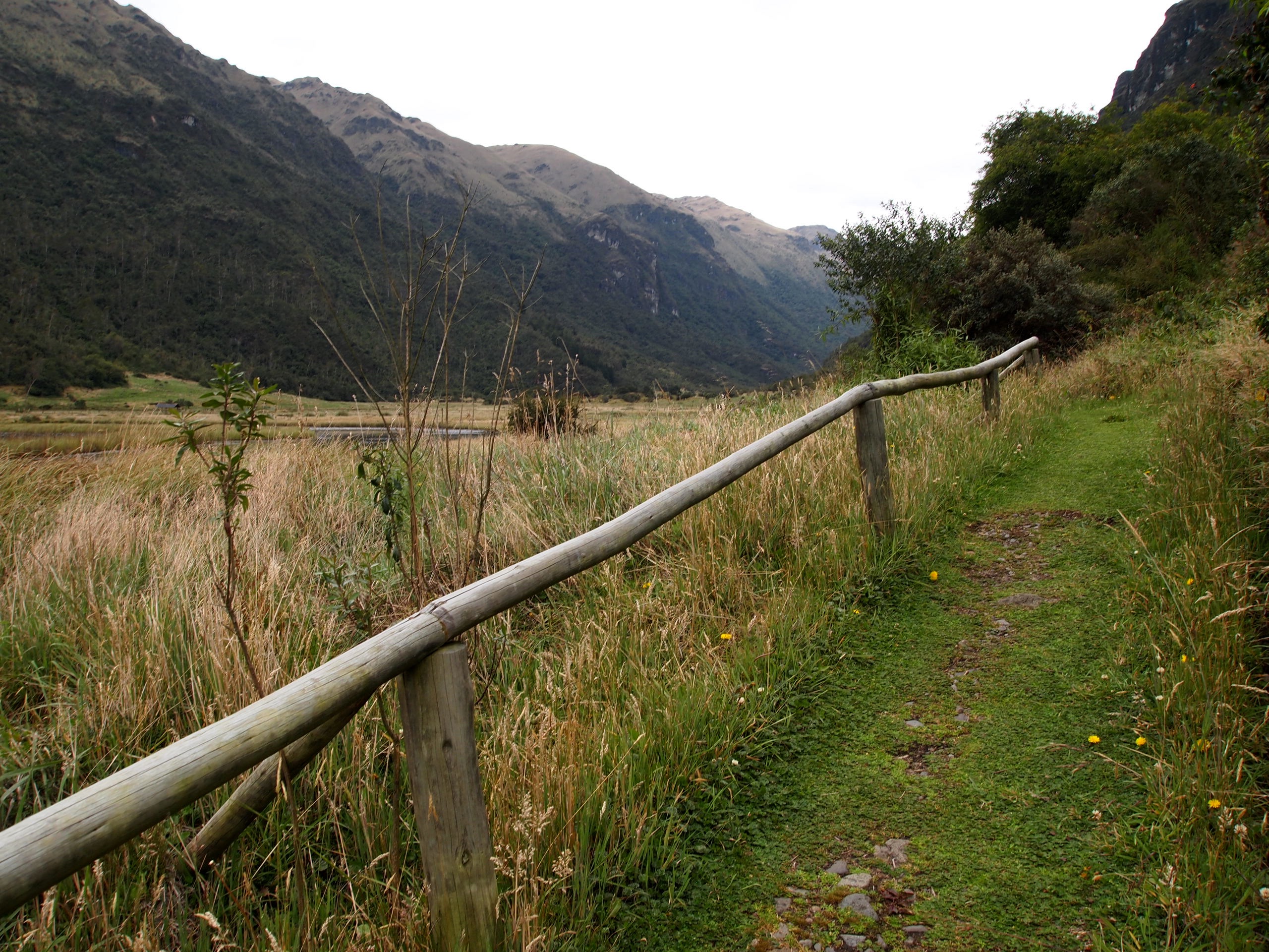
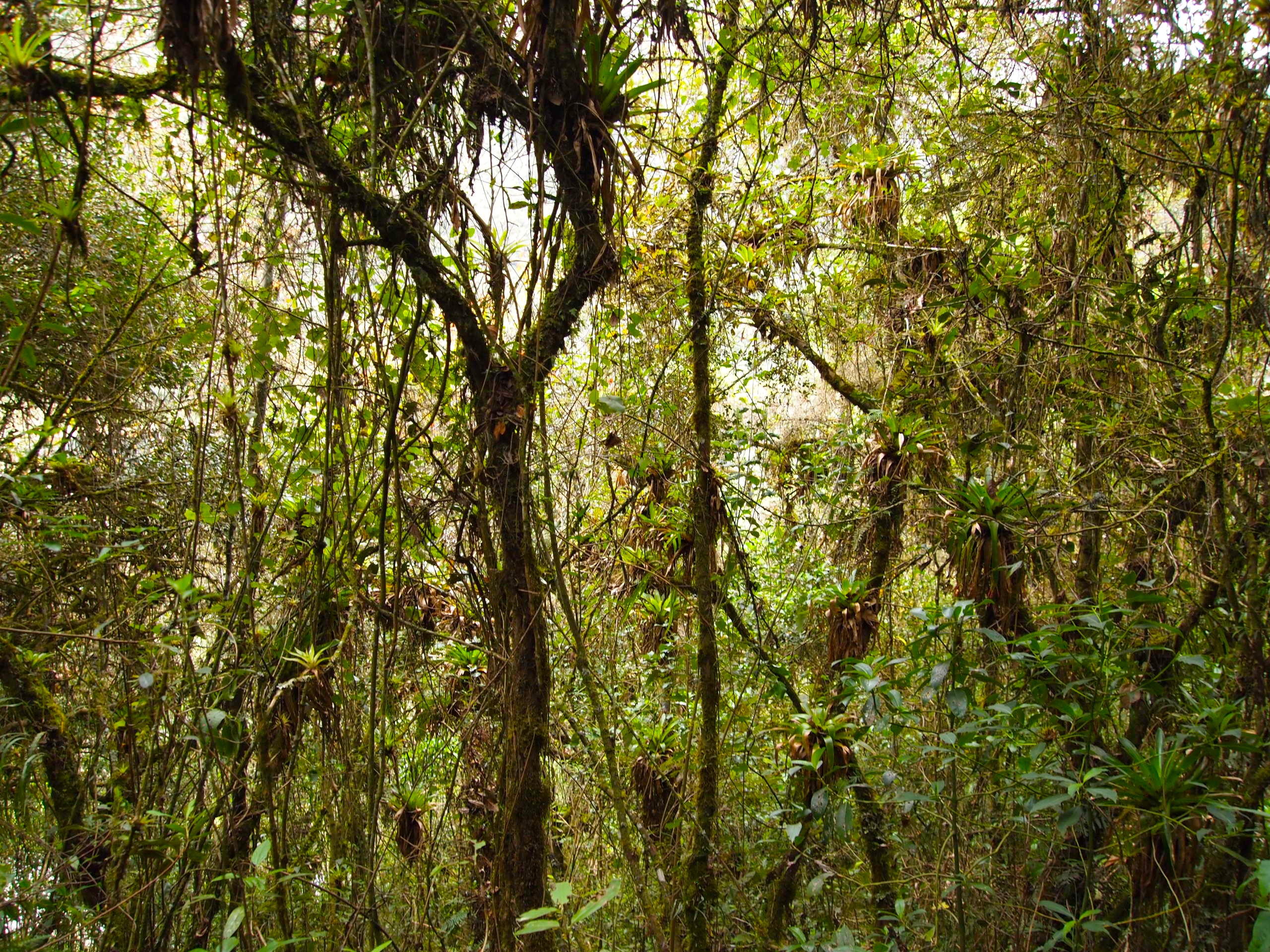
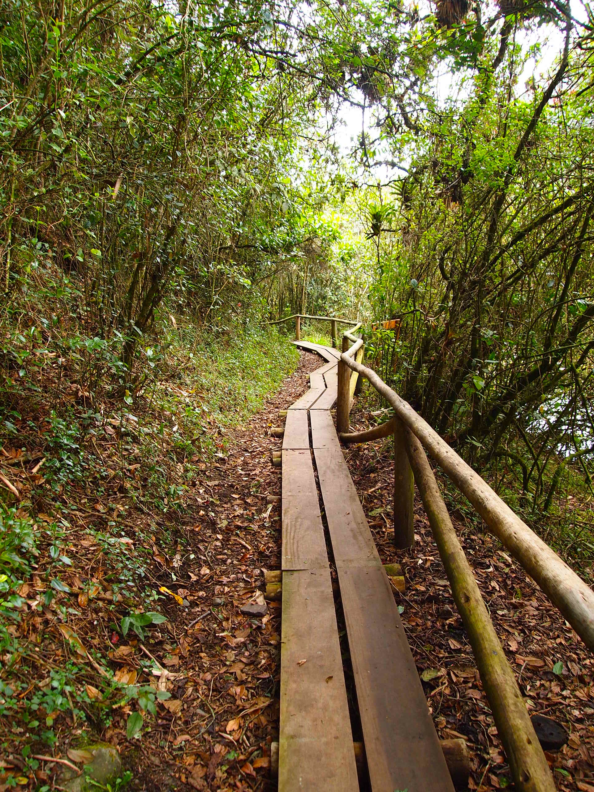
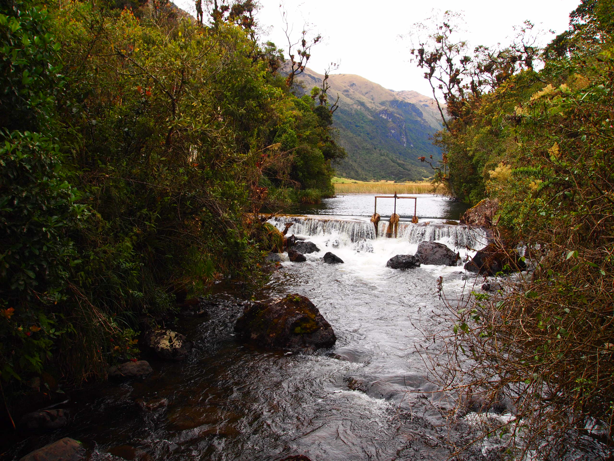
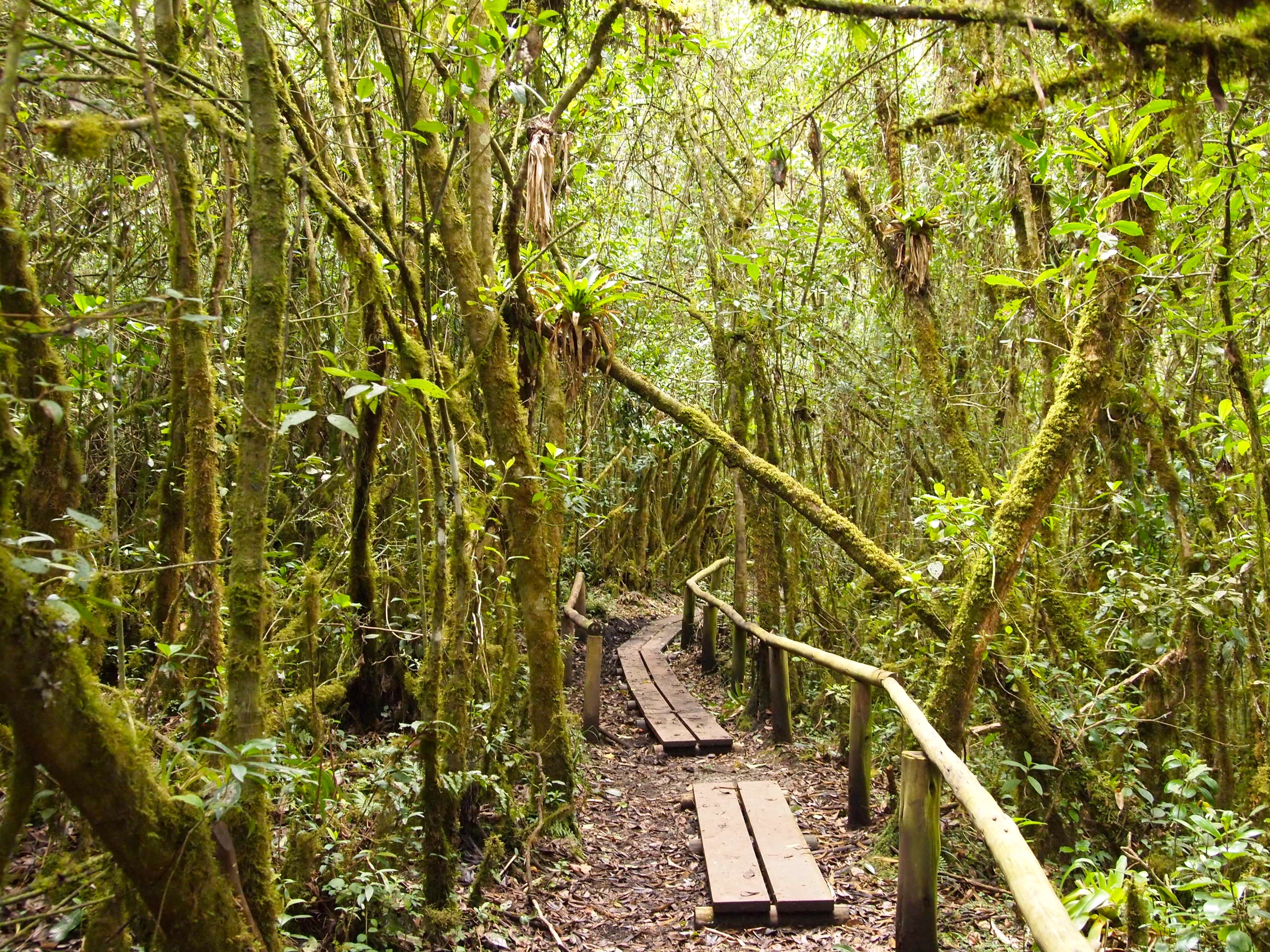
Despite our several crucial mistakes, we had a blast, and the town of Mindo was adorable, and the surrounding rainforest absolutely beautiful. We both agreed that had we had more time, we would’ve spent the night and a second day — checking out the waterfall 7 km away and taking a tour of the local chocolate factory. Maybe next time I’m in Ecuador!
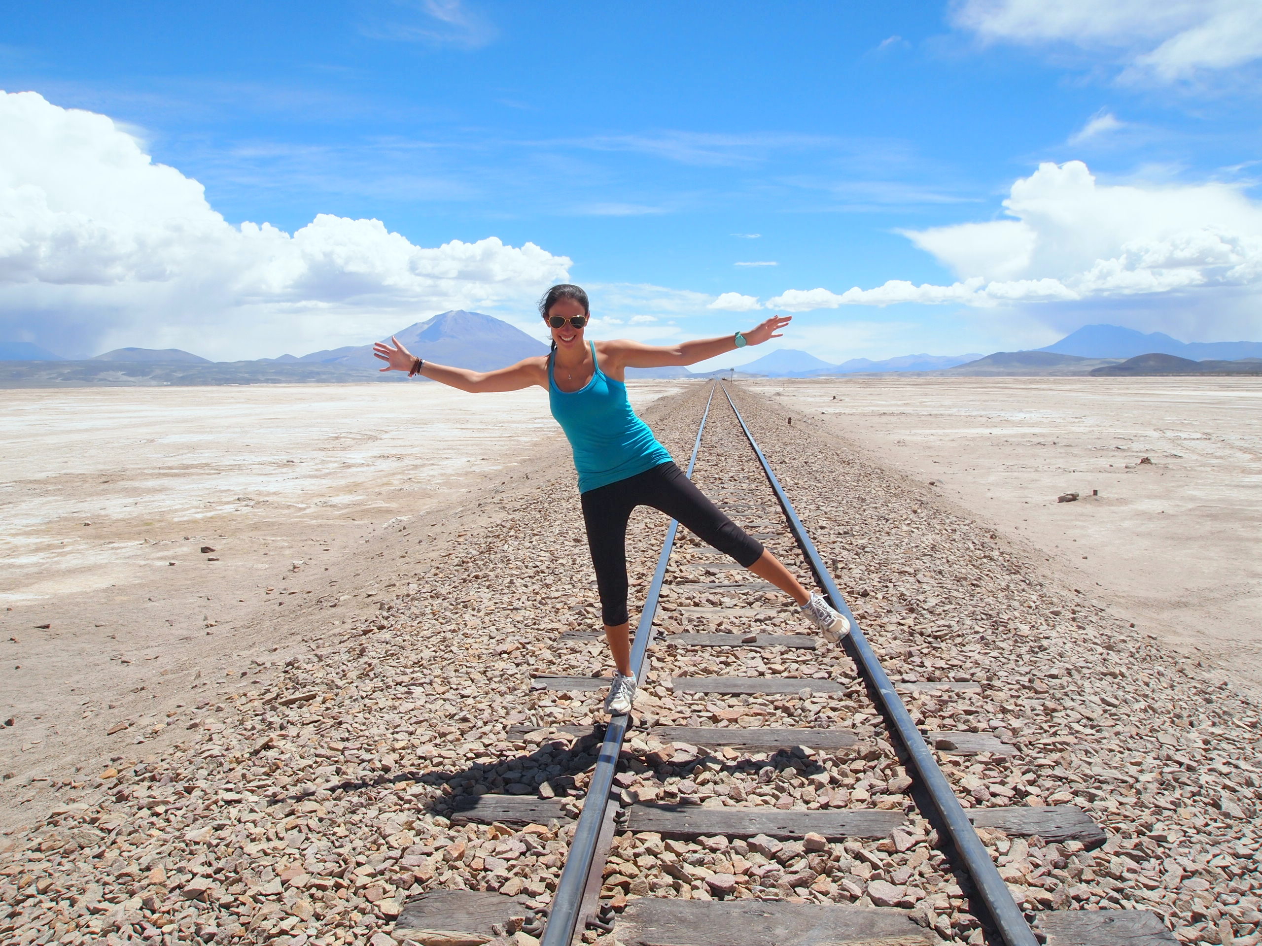
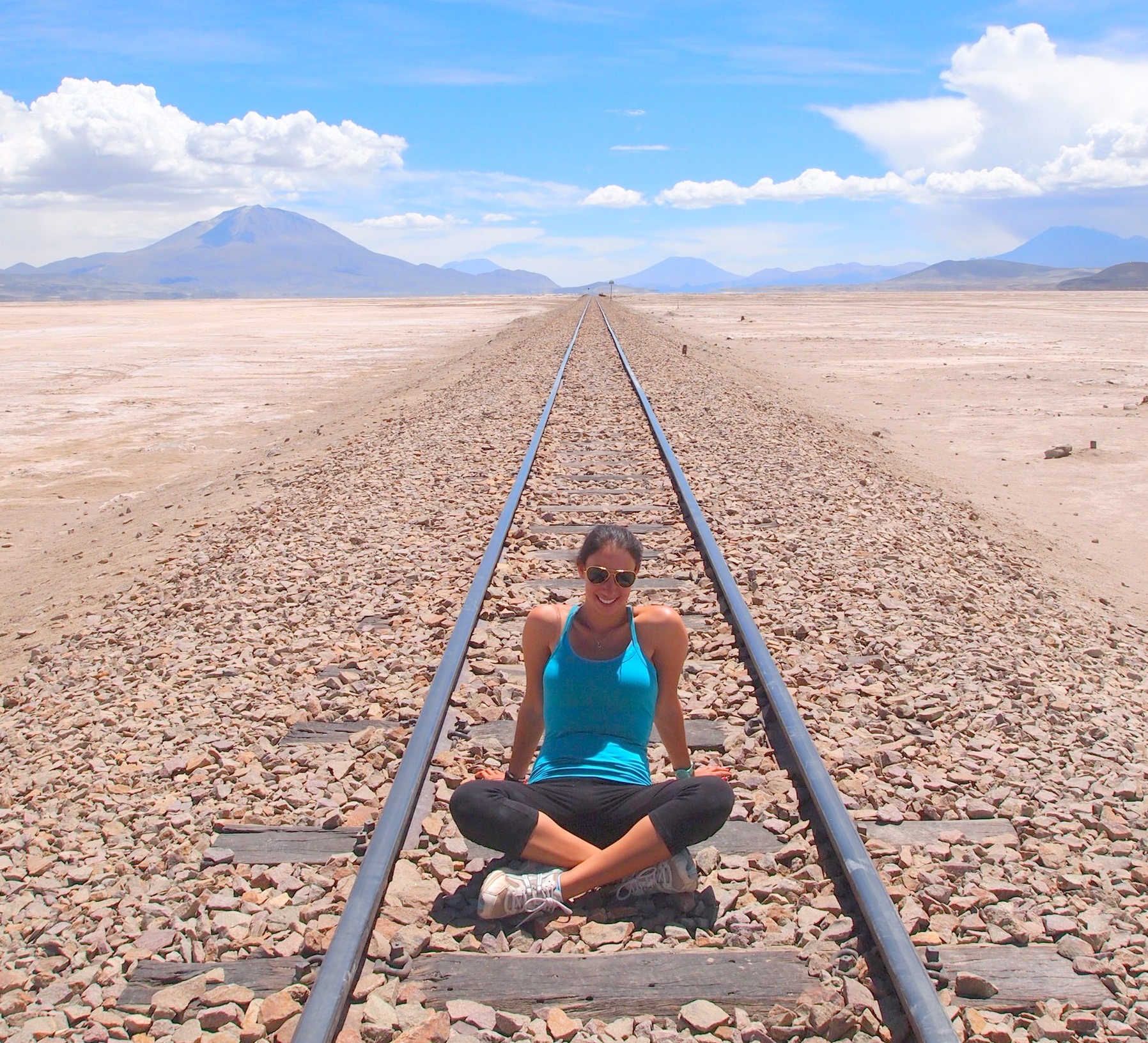
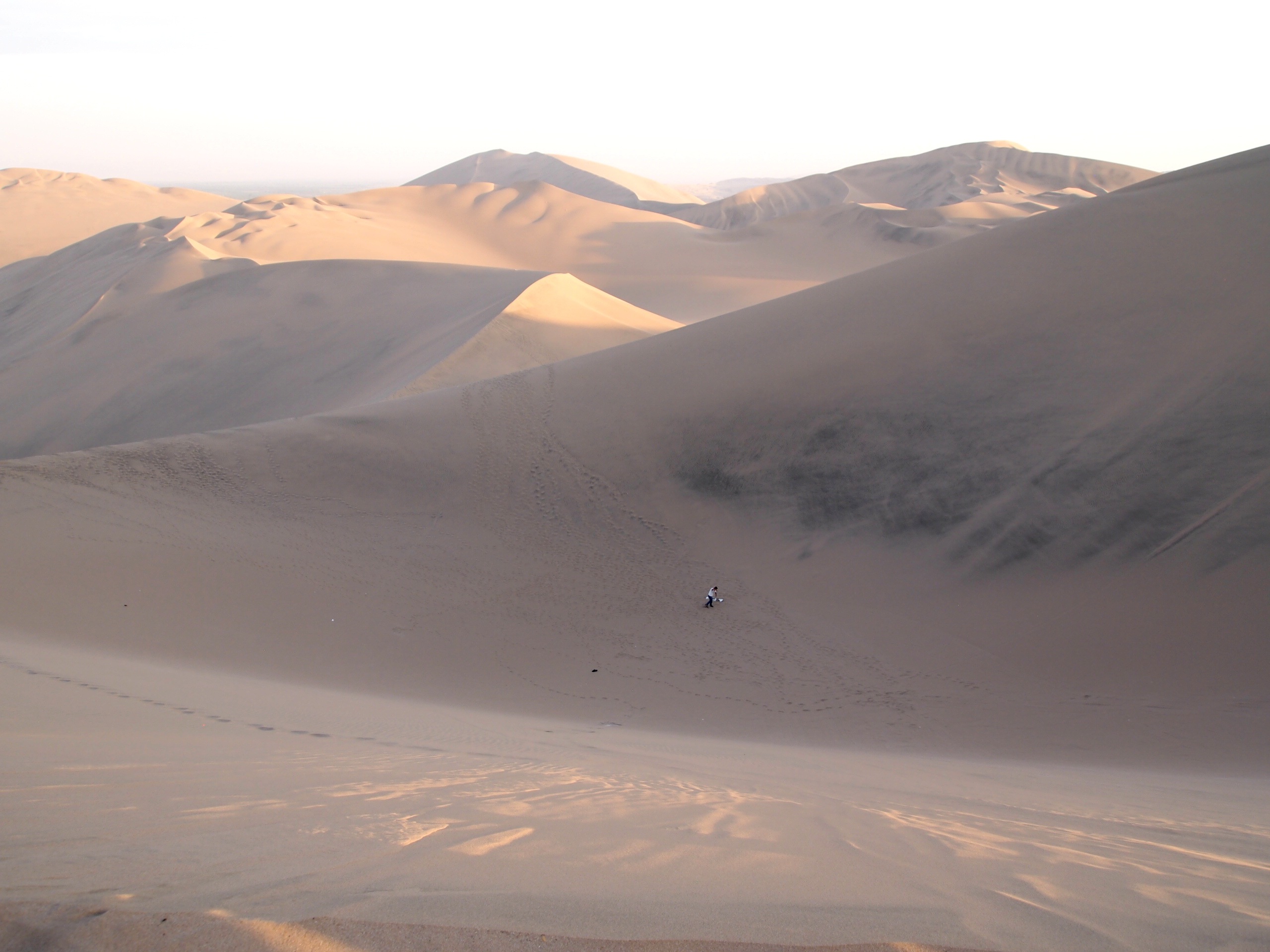
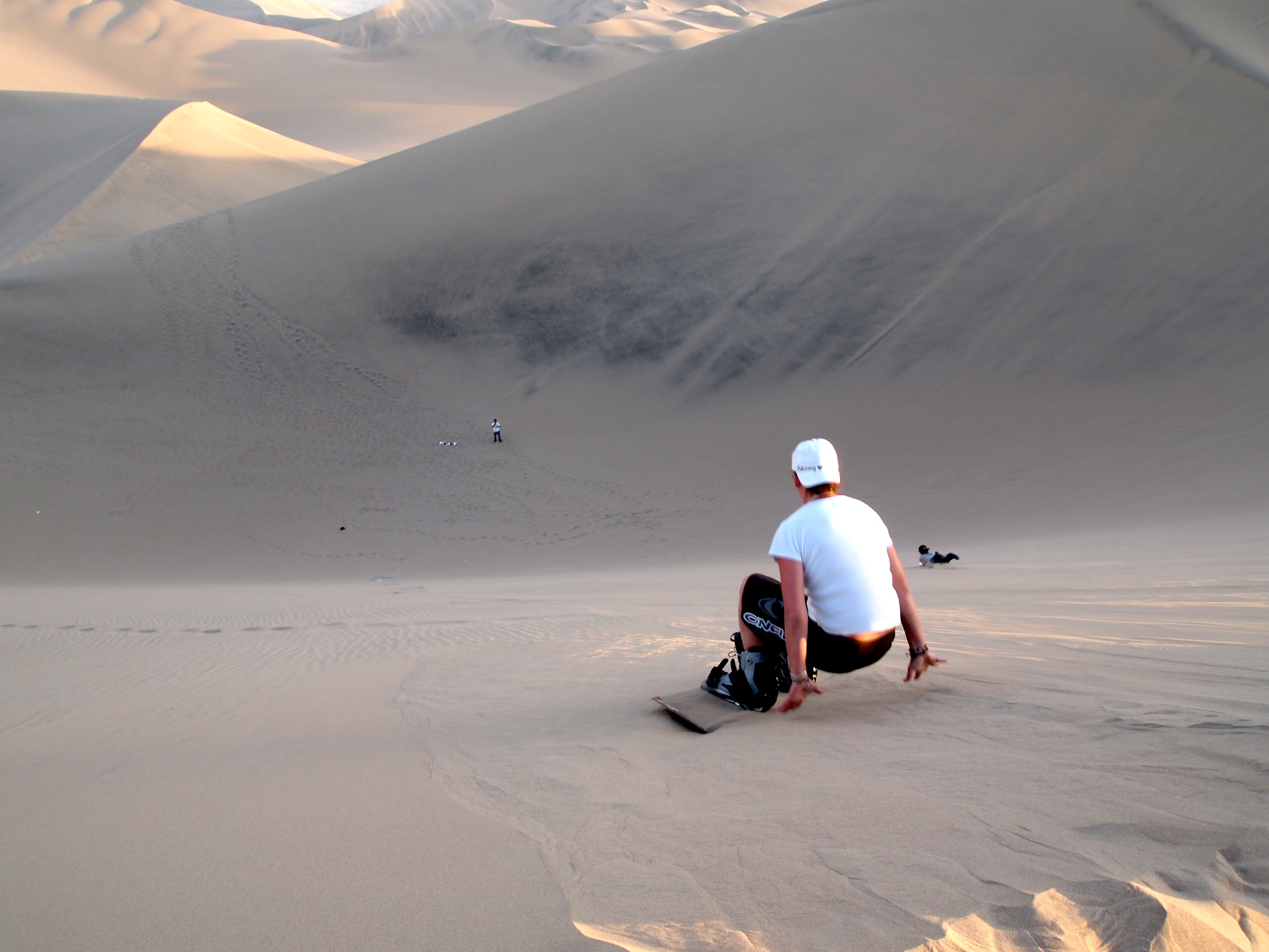
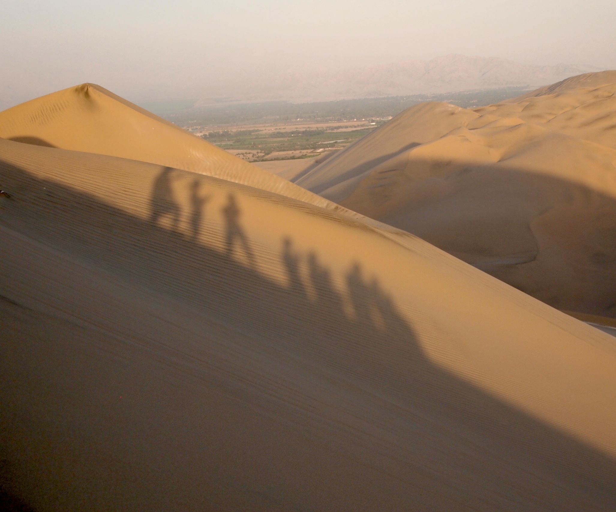
All of my favorite pictures from the day:
-
-

-
Possibly one of the best veggie pizzas I’ve ever had. So delicious!
-

-
Stella loves fresh juice stands too!
-
-
Kathleen being super silly in front of our new favorite juice stand!
-
-
-
-
-
-
-
-

-
A female owl eye butterfly with its wings spread — such a gorgeous bright blue!
-
-
-
-
-
-
-
-
Owl eye butterflies… everywhere!
-
-
-
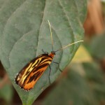
These guys were my favorite — such vibrant yellow and orange wings.
-
-
-
-